10-Day Weather Forecast - Chestnut Mountain Resort, IL
- 42|35°F60% Chance of RainHourly details
Today
42°FMostly cloudy with a chance of rain. Chance of precipitation 55%. High temperature around 42F. Dew point will be around 39F with an average humidity of 95%. Winds will be 6 mph from the NW.
Tonight
35°FCloudy. Patchy fog this evening. Areas of fog after midnight. Lows in the mid 30s. Northwest winds 5 to 10 mph becoming southeast after midnight.
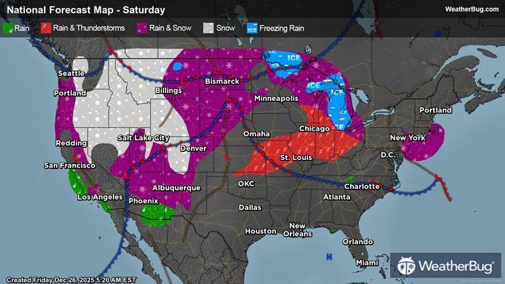
Weekend Weather
- 44|44°FCloudyHourly details
Day
44°FAreas of fog in the morning. Cloudy. Highs in the mid 40s. Southeast winds 10 to 15 mph.
Night
44°FMostly cloudy. Lows in the lower 40s. Southeast winds 5 to 10 mph.
- 45|17°F70% Chance Rain ShowersHourly details
Day
45°FCloudy. A chance of showers in the morning then rain likely in the afternoon. Highs in the upper 40s. Temperature falling into the lower 40s in the afternoon. Northwest winds 5 to 10 mph increasing to 15 to 20 mph with gusts up to 35 mph in the afternoon. Chance of rain 70 percent.
Night
17°FA chance of rain in the evening. Mostly cloudy with a chance of snow. Light snow accumulation possible. Windy and much cooler with lows around 13. Northwest winds 20 to 30 mph with gusts up to 40 mph. Chance of precipitation 50 percent. Wind chill values as low as 7 below after midnight.
- 20|13°FPartly SunnyHourly details
Day
20°FMostly cloudy in the morning then becoming partly sunny. Breezy and much cooler with highs around 20. Wind chill values as low as 5 below in the morning.
Night
13°FPartly cloudy in the evening then becoming mostly clear. Cold with lows around 10 above. Wind chill values as low as zero.
- 28|22°FMostly CloudyHourly details
Day
28°FMostly cloudy. Highs in the upper 20s. Lows 15 to 20. Wind chill values as low as zero.
Night
22°FMostly cloudy. Highs in the upper 20s. Lows 15 to 20. Wind chill values as low as zero.
- 21|6°FMostly CloudyHourly details
Day
21°FMostly cloudy. Highs in the upper 20s. Lows 15 to 20. Wind chill values as low as zero.
Night
6°FMostly cloudy in the evening then becoming partly cloudy. Colder with lows zero to 5 above zero. Wind chill values as low as 10 below after midnight.
- 15|10°FMostly Sunny
Day
15°FMostly clear. Highs 10 to 15. Lows around zero. Wind chill values as low as 10 below.
Night
10°FMostly clear. Highs 10 to 15. Lows around zero. Wind chill values as low as 10 below.
- 21|19°FMostly Sunny
Day
21°FMostly sunny. Highs around 20.
Night
19°FMostly cloudy. Low temperature around 19F. Dew point will be around 8F with an average humidity of 61%. Winds will be 5 mph from the SE.
Weekend Weather
- 26|21°F30% Chance of Snow
Day
26°FCloudy with a slight chance of snow. Chance of precipitation 30%. High temperature around 26F. Dew point will be around 14F with an average humidity of 66%. Winds will be 4 mph from the SE.
Night
21°FCloudy with a chance of snow. Chance of precipitation 50%. Low temperature around 21F. Dew point will be around 16F with an average humidity of 74%. Winds will be 2 mph from the N.
- 24|18°F30% Chance of Snow
Day
24°FCloudy with a slight chance of snow. Chance of precipitation 30%. High temperature around 24F. Dew point will be around 15F with an average humidity of 71%. Winds will be 4 mph from the NW.
Night
18°FPartly cloudy with a slight chance of snow. Chance of precipitation 30%. Low temperature around 18F. Dew point will be around 14F with an average humidity of 74%. Winds will be 4 mph from the NW.