10-Day Weather Forecast - Ford City, PA
Weekend Weather
- |29°FPartly CloudyHourly details
Tonight
29°FPartly cloudy. Low temperature around 29F. Dew point will be around 29F with an average humidity of 89%. Winds will be 1 mph from the E.
- 48|49°FFreezing RainHourly details
Day
48°FAreas of fog this morning. Rain with a slight chance of freezing rain this morning then rain this afternoon. Mild. Highs in the mid 50s. Southeast winds 5 to 10 mph. Chance of precipitation near 100 percent.
Night
49°FA chance of rain in the evening then rain after midnight. Mild. Lows in the lower 40s. Southwest winds 15 to 20 mph with gusts up to 35 mph. Chance of rain near 100 percent.
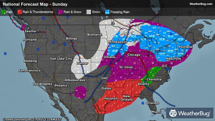
- 51|20°F70% Chance Frozen MixHourly details
Day
51°FMostly cloudy. A chance of rain and snow in the morning then numerous snow showers in the afternoon. Breezy with highs in the mid 40s. Temperatures falling into the upper 20s in the afternoon. West winds 15 to 25 mph with gusts up to 45 mph. Chance of precipitation 70 percent.
Night
20°FSnow showers. Little or no snow accumulation. Blustery and much colder with lows around 19. West winds 20 to 25 mph with gusts up to 45 mph. Chance of snow 90 percent.
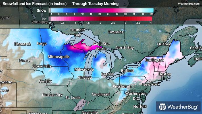
- 28|18°F70% Chance Snow ShowersHourly details
Day
28°FConsiderable cloudiness. Numerous snow showers in the morning. Little or no snow accumulation. Much colder with highs in the mid 20s. West winds 15 to 20 mph with gusts up to 40 mph. Chance of snow 70 percent.
Night
18°FConsiderable cloudiness. Scattered snow showers after midnight. Near steady temperature in the lower 20s. Chance of snow 50 percent.
- 32|16°F70% Chance Snow ShowersHourly details
Day
32°FConsiderable cloudiness. Scattered snow showers in the morning then numerous snow showers in the afternoon. Little or no snow accumulation. Highs in the lower 30s. Chance of snow 70 percent.
Night
16°FSnow likely. Lows around 20. Chance of snow 70 percent.
- 21|7°F50% Chance of SnowHourly details
Day
21°FMostly cloudy with a 50 percent chance of snow. Highs in the mid 20s.
Night
7°FMostly cloudy. Cold with lows around 10 above.
- 15|13°FPartly SunnyHourly details
Day
15°FPartly sunny. Highs in the mid 20s.
Night
13°FPartly cloudy and cold. Near steady temperature 15 to 20.
Weekend Weather
- 31|26°F30% Chance Frozen Mix
Day
31°FPartly sunny. A chance of rain and snow in the afternoon. Highs in the mid 30s. Chance of precipitation 30 percent.
Night
26°FCloudy with a chance of snow. Chance of precipitation 50%. Low temperature around 26F. Dew point will be around 25F with an average humidity of 91%. Winds will be 4 mph from the S.
- 32|21°F40% Chance of Snow
Day
32°FCloudy with a chance of snow. Chance of precipitation 35%. High temperature around 32F. Dew point will be around 26F with an average humidity of 86%. Winds will be 4 mph from the W.
Night
21°FCloudy with a slight chance of snow. Chance of precipitation 30%. Low temperature around 21F. Dew point will be around 21F with an average humidity of 90%. Winds will be 3 mph from the W.
- 31|20°F30% Chance of Snow
Day
31°FCloudy with a slight chance of snow. Chance of precipitation 30%. High temperature around 31F. Dew point will be around 22F with an average humidity of 80%. Winds will be 1 mph from the W.
Night
20°FCloudy with a slight chance of snow. Chance of precipitation 30%. Low temperature around 20F. Dew point will be around 20F with an average humidity of 89%. Winds will be 2 mph from the E.