10-Day Weather Forecast - Fort Loramie, OH
- 58|37°F60% Chance of RainHourly details
Today
58°FCloudy with a chance of rain. Chance of precipitation 60%. High temperature around 58F. Dew point will be around 48F with an average humidity of 97%. Winds will be 13 mph from the S.
Tonight
37°FMostly cloudy. Lows in the mid 30s. Northwest winds 10 to 15 mph with gusts up to 25 mph becoming north around 5 mph after midnight.
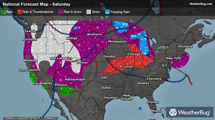
Weekend Weather
- 43|41°FMostly CloudyHourly details
Day
43°FMostly cloudy. Cooler with highs in the mid 40s. Northeast winds around 5 mph becoming southeast in the afternoon.
Night
41°FMostly cloudy. A chance of rain after midnight. Lows in the upper 30s. Temperatures rising into the mid 40s after midnight. Southeast winds 5 to 10 mph with gusts up to 20 mph. Chance of rain 40 percent.
- 61|37°FRainHourly details
Day
61°FRain warmer with highs in the lower 60s. South winds 10 to 15 mph with gusts up to 25 mph. Chance of rain 90 percent.
Night
37°FRain in the evening then rain and snow showers after midnight. Lows in the upper 20s. Southwest winds 15 to 20 mph with gusts up to 40 mph. Chance of precipitation 100 percent.
- 34|17°F80% Chance Snow ShowersHourly details
Day
34°FMostly cloudy. Snow showers mainly in the morning. Blustery and much cooler with highs in the lower 30s. Temperatures falling into the lower 20s in the afternoon. Chance of snow 80 percent.
Night
17°FMostly cloudy with a 40 percent chance of snow showers. Brisk with lows around 20.
- 26|23°FPartly CloudyHourly details
Day
26°FMostly cloudy in the morning then becoming partly cloudy. Highs in the mid 20s.
Night
23°FMostly cloudy. Lows in the lower 20s.
- 30|16°FMostly CloudyHourly details
Day
30°FMostly cloudy. Highs in the lower 30s.
Night
16°FMostly cloudy. A chance of snow showers after midnight. Lows 15 to 20. Chance of snow 40 percent.
- 16|12°F40% Chance Snow Showers
Day
16°FMostly cloudy in the morning then becoming partly cloudy. A 40 percent chance of snow showers. Unseasonably cold with highs in the lower 20s.
Night
12°FPartly cloudy in the evening then clearing. Cold with lows 5 to 10 above.
- 25|22°FMostly Sunny
Day
25°FMostly sunny. Highs around 20.
Night
22°FPartly cloudy with a slight chance of snow. Chance of precipitation 25%. Low temperature around 22F. Dew point will be around 15F with an average humidity of 74%. Winds will be 2 mph from the SE.
Weekend Weather
- 30|28°F40% Chance of Snow
Day
30°FMostly cloudy with a chance of snow. Chance of precipitation 40%. High temperature around 30F. Dew point will be around 22F with an average humidity of 80%. Winds will be 4 mph from the SE.
Night
28°FCloudy with a chance of snow. Chance of precipitation 50%. Low temperature around 28F. Dew point will be around 27F with an average humidity of 88%. Winds will be 3 mph from the SE.
- 34|26°F50% Chance Frozen Mix
Day
34°FCloudy with a chance of rain-snow mix. Chance of precipitation 45%. High temperature around 34F. Dew point will be around 28F with an average humidity of 87%. Winds will be 2 mph from the SW.
Night
26°FCloudy with a chance of snow. Chance of precipitation 40%. Low temperature around 26F. Dew point will be around 25F with an average humidity of 90%. Winds will be 4 mph from the W.