10-Day Weather Forecast - Glen Jean, WV
- 54|48°F70% Chance Rain ShowersHourly details
Today
54°FShowers likely. Near steady temperature in the lower 50s. South winds 10 to 15 mph with gusts up to 25 mph. Chance of rain 70 percent.
Tonight
48°FCloudy. Showers mainly in the evening. Patchy fog. Lows in the upper 40s. Southwest winds 5 to 10 mph becoming northwest after midnight. Chance of rain 90 percent.
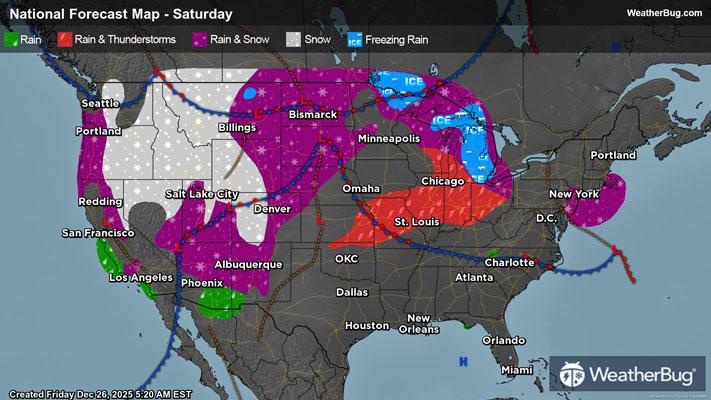
Weekend Weather
- 54|43°FPartly SunnyHourly details
Day
54°FMostly cloudy in the morning then becoming partly sunny. Highs in the lower 50s. Northwest winds around 5 mph.
Night
43°FMostly cloudy. Lows in the lower 40s. Southeast winds 5 to 10 mph.
- 62|55°FMostly CloudyHourly details
Day
62°FMostly cloudy. A slight chance of showers in the morning. Warmer with highs in the lower 60s. South winds 5 to 10 mph with gusts up to 20 mph. Chance of rain 20 percent.
Night
55°FMostly cloudy. Showers likely after midnight. Near steady temperature in the upper 50s. Chance of rain 70 percent.
- 58|18°F80% Chance Frozen MixHourly details
Day
58°FRain showers in the morning then partly sunny with a chance of rain and snow showers in the afternoon. Highs in the mid 50s. Temperature falling into the mid 30s in the afternoon. Chance of precipitation 80 percent.
Night
18°FMostly cloudy with a 50 percent chance of snow showers. Much colder with lows around 20.
- 29|20°FMostly SunnyHourly details
Day
29°FMostly cloudy in the morning then becoming mostly sunny. Much colder with highs in the upper 20s.
Night
20°FMostly clear in the evening then becoming partly cloudy. Cold with lows around 20.
- 32|25°FPartly SunnyHourly details
Day
32°FMostly cloudy in the morning then becoming partly sunny. Highs in the mid 30s.
Night
25°FMostly cloudy. A chance of snow showers after midnight. Cold with lows in the lower 20s. Chance of snow 30 percent.
- 25|14°FPartly Sunny
Day
25°FMostly cloudy in the morning then becoming partly sunny. Cold with highs in the upper 20s.
Night
14°FMostly clear. Low temperature around 14F. Dew point will be around 11F with an average humidity of 74%. Winds will be 6 mph from the W.
- 36|26°FMostly Sunny
Day
36°FMostly sunny. High temperature around 36F. Dew point will be around 17F with an average humidity of 57%. Winds will be 3 mph from the W.
Night
26°FMostly cloudy with a slight chance of snow. Chance of precipitation 25%. Low temperature around 26F. Dew point will be around 20F with an average humidity of 74%. Winds will be 2 mph from the SE.
Weekend Weather
- 40|34°F50% Chance Frozen Mix
Day
40°FCloudy with a chance of rain-snow mix. Chance of precipitation 45%. High temperature around 40F. Dew point will be around 27F with an average humidity of 70%. Winds will be 4 mph from the SE.
Night
34°FCloudy with a chance of rain. Chance of precipitation 60%. Low temperature around 34F. Dew point will be around 30F with an average humidity of 80%. Winds will be 4 mph from the SE.
- 45|37°F60% Chance of Rain
Day
45°FCloudy with a chance of rain. Chance of precipitation 60%. High temperature around 45F. Dew point will be around 36F with an average humidity of 79%. Winds will be 3 mph from the S.
Night
37°FCloudy with a chance of rain. Chance of precipitation 50%. Low temperature around 37F. Dew point will be around 35F with an average humidity of 89%. Winds will be 2 mph from the S.