10-Day Weather Forecast - Osburn, ID
- |39°FRainHourly details
Tonight
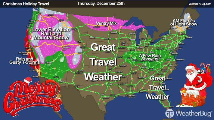
39°FMostly cloudy with likely rain. Chance of precipitation 95%. Low temperature around 39F. Dew point will be around 40F with an average humidity of 97%. Winds will be 1 mph from the E.
- 43|35°F70% Chance of RainHourly details
Day
43°FMostly cloudy. A chance of rain and mountain snow in the morning then rain likely in the afternoon. Little or no mountain snow accumulation. Snow level 5500 feet. Highs in the upper 40s to lower 50s. Chance of precipitation 70 percent.
Night
35°FMostly cloudy. Rain mountain snow likely and a chance of thunderstorms in the evening then a chance of rain and mountain snow overnight. Mountain snow accumulation up to 1 inch. Snow level 5500 feet lowering to 4500 feet overnight. Lows in the mid 30s. Chance of precipitation 70 percent.
- 37|27°FRainHourly details
Day
37°FSnow rain. Snow accumulation of 3 to 7 inches. Snow level 3500 feet. Highs in the upper 30s to lower 40s. Gusts up to 20 mph in the afternoon. Chance of precipitation near 100 percent.
Night
27°FSnow. Snow may be heavy at times. Moderate snow accumulations possible. Lows in the mid to upper 20s. Chance of precipitation near 100 percent.
Weekend Weather
- 26|12°F50% Chance of SnowHourly details
Day
26°FPartly sunny with a 50 percent chance of snow. Cooler. Highs in the upper 20s to lower 30s.
Night
12°FMostly cloudy. Lows 14 to 18. Highs in the lower 30s.
- 26|19°FMostly CloudyHourly details
Day
26°FMostly cloudy. Lows 14 to 18. Highs in the lower 30s.
Night
19°FMostly cloudy. Lows 19 to 25. Highs in the mid 30s to lower 40s.
- 32|24°FMostly CloudyHourly details
Day
32°FMostly cloudy. Lows 19 to 25. Highs in the mid 30s to lower 40s.
Night
24°FMostly cloudy. Lows 19 to 25. Highs in the mid 30s to lower 40s.
- 37|29°FMostly CloudyHourly details
Day
37°FMostly cloudy. Lows 19 to 25. Highs in the mid 30s to lower 40s.
Night
29°FMostly cloudy. Lows in the mid to upper 20s.
- 38|30°FMostly Cloudy
Day
38°FMostly cloudy with a chance of rain or snow. Highs in the lower 40s. Chance of precipitation 20 percent.
Night
30°FPartly cloudy with a chance of rain-snow mix. Chance of precipitation 40%. Low temperature around 30F. Dew point will be around 30F with an average humidity of 92%. Winds will be 2 mph from the S.
- 36|31°F60% Chance Frozen Mix
Day
36°FCloudy with a chance of rain-snow mix. Chance of precipitation 55%. High temperature around 36F. Dew point will be around 32F with an average humidity of 94%. Winds will be 3 mph from the S.
Night
31°FCloudy with probable snow. Chance of precipitation 70%. Low temperature around 31F. Dew point will be around 31F with an average humidity of 96%. Winds will be 3 mph from the SW.
- 33|28°F80% Chance of Snow
Day
33°FCloudy with probable snow. Chance of precipitation 80%. High temperature around 33F. Dew point will be around 31F with an average humidity of 97%. Winds will be 4 mph from the SW.
Night
28°FCloudy with probable snow. Chance of precipitation 65%. Low temperature around 28F. Dew point will be around 29F with an average humidity of 97%. Winds will be 3 mph from the S.
Weekend Weather
- 32|27°F60% Chance of Snow
Day
32°FCloudy with a chance of snow. Chance of precipitation 60%. High temperature around 32F. Dew point will be around 30F with an average humidity of 96%. Winds will be 3 mph from the S.
Night
27°FCloudy with a chance of snow. Chance of precipitation 40%. Low temperature around 27F. Dew point will be around 27F with an average humidity of 95%. Winds will be 2 mph from the S.