Back to forecast
Christmas Eve Weather Preview
December 29, 2019 at 10:34 AM EST
By WeatherBug's Brandon Bush
Winter has officially begun, and that means that the holiday season is upon us. Fortunately for those who have extra reserves of holiday cheer, it won’t be necessary to wait until Christmas day to begin celebrating. It all starts off with Christmas Eve, and it seems that a lucky few will get that snowy weather that many wish for every year.
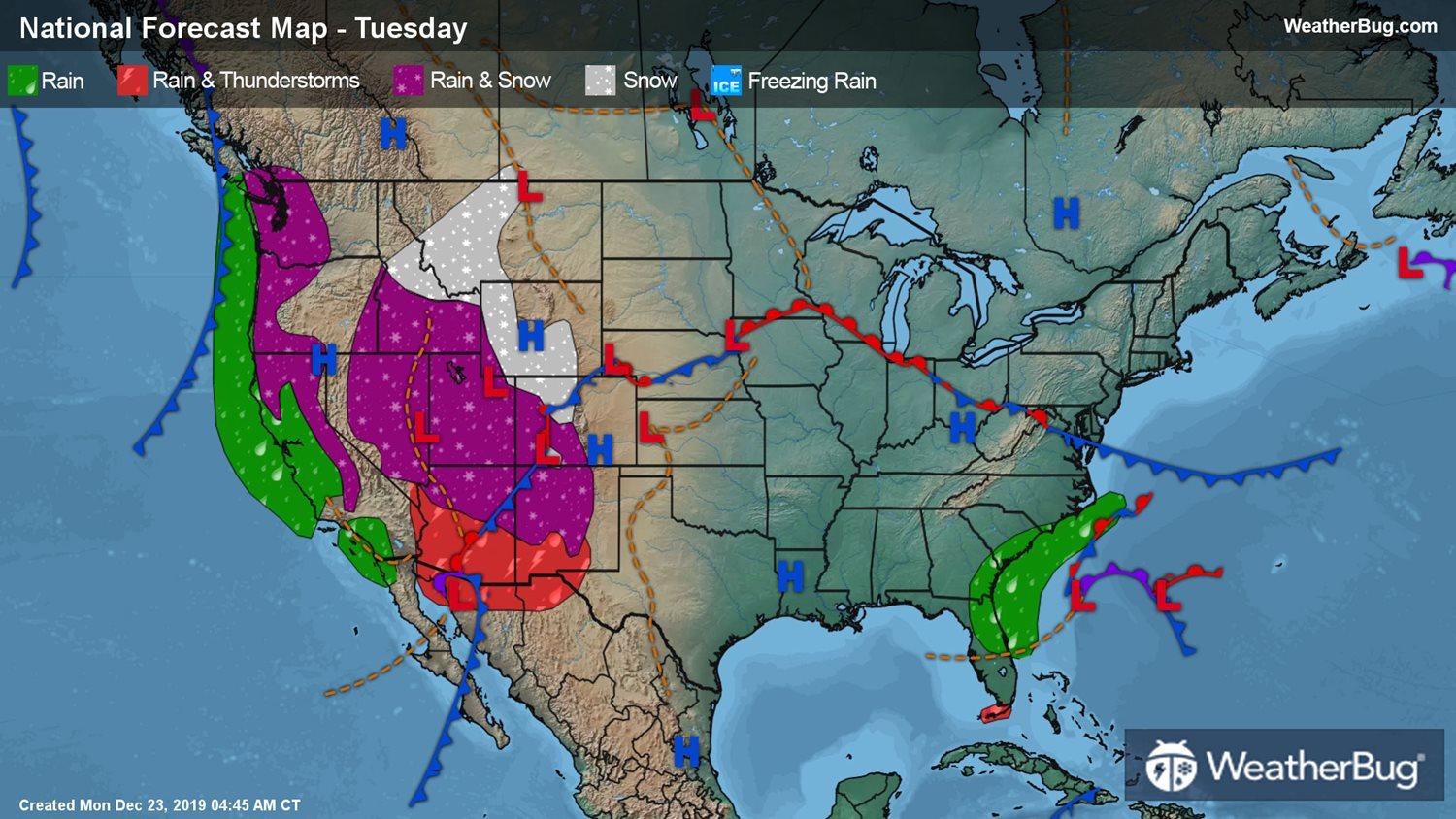
A large portion of the West will see snow along the Sierra Nevada and Great Basin the morning of Christmas Eve. The system will track slowly over the Intermountain West, allowing for much more accumulation to occur. The snow will progress eastward and hit the Rockies to close out the pre-holiday celebration. A few inches will accumulate in parts of the Great Basin, including I-80 in northern Nevada and I-84 crossing through Boise and Twin Falls, Idaho.
If you’re planning to visit the Denver Botanic Gardens Lights or spend the holiday in Yosemite National Park eating a delicious meal, then breaking out the heavy jackets and snow boots will be your best option. Up to a foot of snow is likely to build at the highest elevations of the Intermountain West and temperatures will only peak in the low 20s and 30s. Western California will stay a bit warmer in the low 40s and 50s.
Rain and a wintry mix will push across the Arizona and New Mexico desert by the afternoon. Along the mountainous portions, highs peak in the mid-30s, while warmer temperatures in the upper 40s and mid-50s dominate the Southwest’s southern flank, including the Phoenix metro. A new system of low pressure will push ashore overnight on Christmas Eve to bring rain to the Pacific Northwest and Northern California coast.
The East will largely have a clear Christmas Eve. The downpours across the Southeast Atlantic coast will finally clear out in time for evening church services. No new snow accumulation is expected but the snow that is already on the ground has a great chance of sticking with upper teens and mid-20s for the Northern Plains and Upper Mississippi Valley and mid-20s to low 30s for the Northeast and Great Lakes.
The Central and Southern U.S. will keep a dry hat on for Christmas Eve. Highs will peak in the mid-40s to upper 50s for the Central Plains, Middle Mississippi Valley and Mid-Atlantic. The Southern Plains, Lower Mississippi Valley, Southeast and Florida will see a range of temperatures from the upper 50s to upper 60s.