URGENT - WINTER WEATHER MESSAGE
National Weather Service Missoula MT
234 AM MST Thu Dec 18 2025
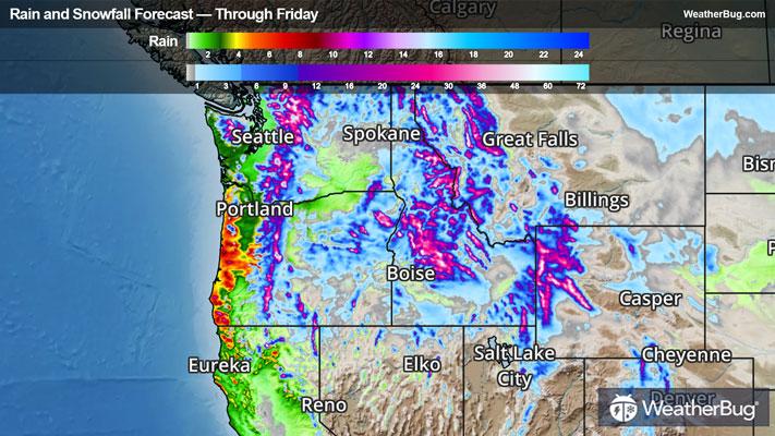
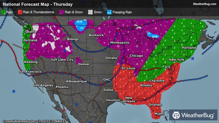
...ATMOSPHERIC RIVER TO BRING SIGNIFICANT MOUNTAIN SNOW...
.A plume of subtropical moisture associated with an atmospheric river will bring significant mountain snow Thursday into Friday. Snow levels will rise above 5,000 feet Thursday night before quickly dropping Friday morning as strong cold front passes. The heaviest snow accumulations will impact higher elevations above 6,000 feet, especially across the Clearwater and Bitterroot Mountains.
Lower Clark Fork Region- 234 AM MST Thu Dec 18 2025
...WINTER WEATHER ADVISORY REMAINS IN EFFECT FROM 1 PM THIS AFTERNOON TO 11 AM MST SATURDAY...
* WHAT...Snow expected. There is a likelihood of moderate winter weather impacts. Total snow accumulations of 6 to 12 inches at Lookout Pass. Winds gusting as high as 35 mph.
* WHERE...I-90 Lookout Pass to Haugan.
* WHEN...From 1 PM this afternoon to 11 AM MST Saturday.
* IMPACTS...For MODERATE winter weather impacts, expect disruptions to normal activities. Hazardous traveling conditions. Use extra caution while driving.
* ADDITIONAL DETAILS...Snow levels will briefly rise above 5,000 feet Thursday night with snow changing to rain at Lookout Pass. Snow levels will drop below 3,000 feet Friday morning as a cold front passes with snow resuming.
PRECAUTIONARY/PREPAREDNESS ACTIONS...
Slow down and use caution while traveling. The latest road conditions for the state you are calling from can be obtained by calling 5 1 1.
&&