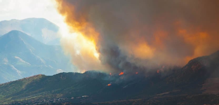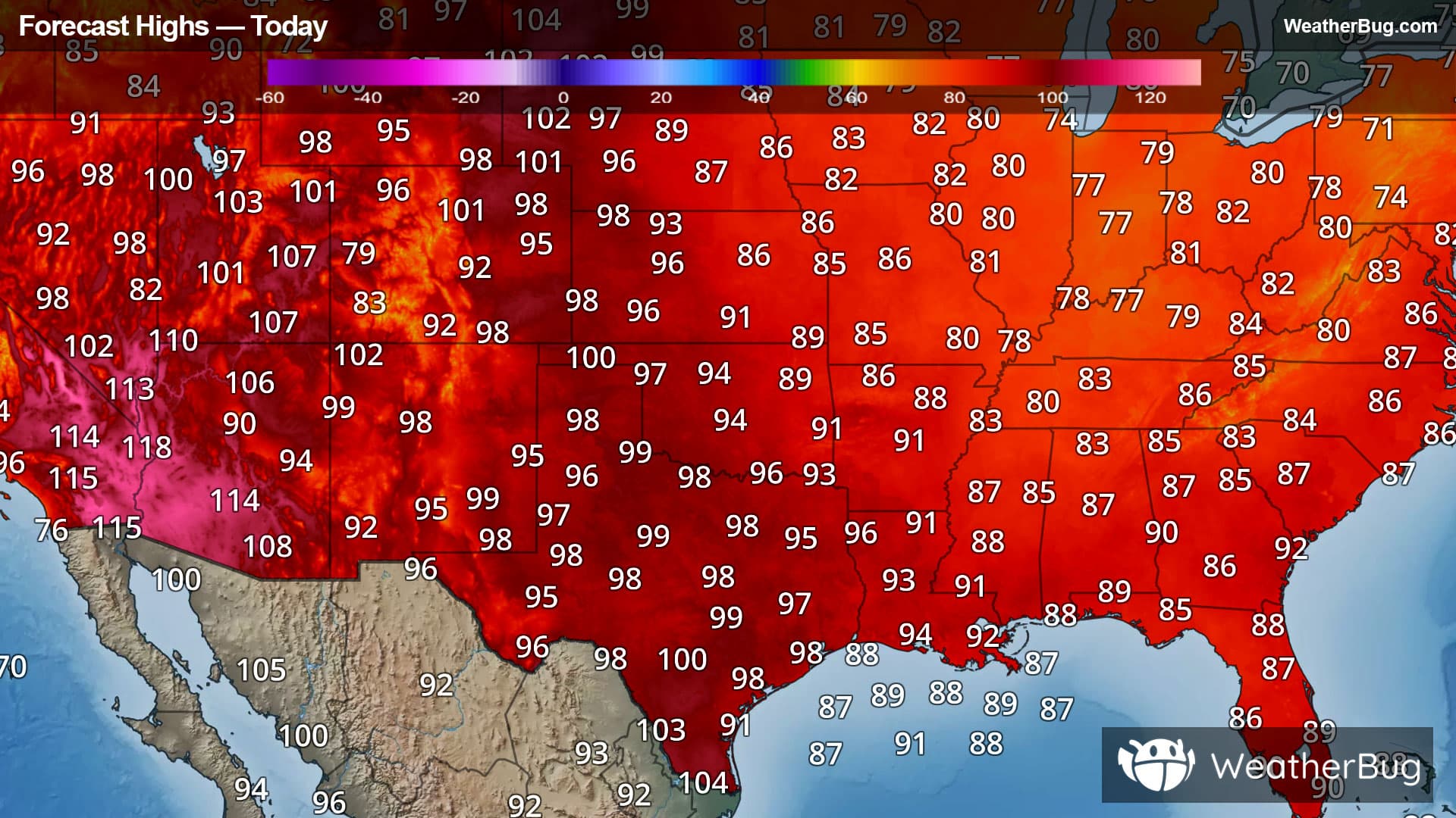
Blistering Heat for Many West of the Mississippi
Dangerous heat will continue across much of the West today.
Read MoreDangerous heat will continue across much of the West today.
Read More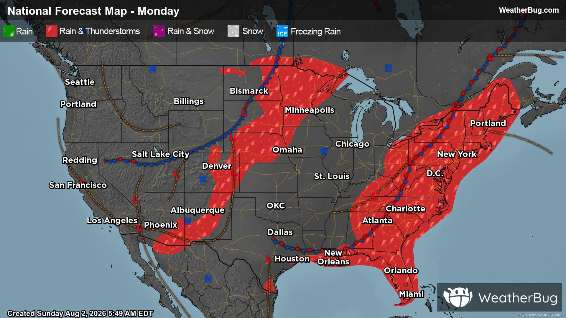
A one-two punch of cold fronts impacts the East and north-central U.S. to start the new work week.
Read More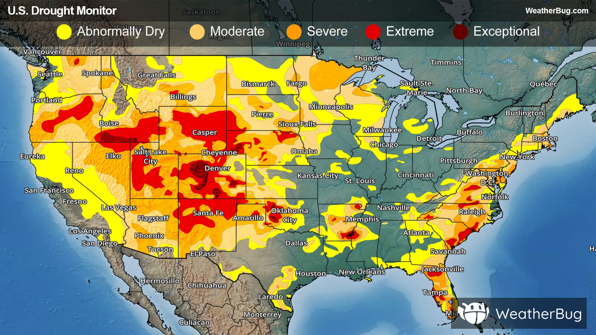
Despite an active weather pattern in much of the East over the last week, significant drought changes have been very limited.
Read More
There are ways to endure the heat when there's no A.C.
Read More