Back to forecast
On This Day in 1921: The Olympic Blowdown
January 28, 2024 at 10:34 PM EST
UPDATED By WeatherBug Meteorologists
On this day in 1921, ‘The Olympic Blowdown’ struck parts of the Pacific Northwest, packing destructive wind gusts in excess of 100 mph.
During the morning of January 29, 1921, the warning signs arose that a dangerous storm was on the way to impact the Pacific Northwest. Around 8 a.m. PST, small craft warnings were issued by local forecasters to alert ships of the dangerous winds on the way. Just a few hours later, dramatic pressure drops were recorded at North Head, Wash., with a drop of 0.16 inches of mercury, or over 5 mb, in one hour.
Following the rapid pressure drop came the howling winds. Shortly after 3:30 p.m. PST, sustained winds at North Head, Wash., had reached an estimated 92 mph, equivalent to a strong Category 1 hurricane, with wind gusts even higher at a powerful 106 mph. Shortly after winds gusted above the century mark, the anemometer at North Head, Wash., had been destroyed, so it is quite possible wind gusts had reached even higher than what was already recorded.
North Head, Wash., was not the only area impacted by The Olympic Blowdown. The powerful storm system responsible for the mighty winds tracked from offshore the California/Oregon border to the northwest tip of the Washington coast. Multiple coastal areas from north of San Francisco to the Washington/Canada border recorded wind gusts in excess of hurricane-force.
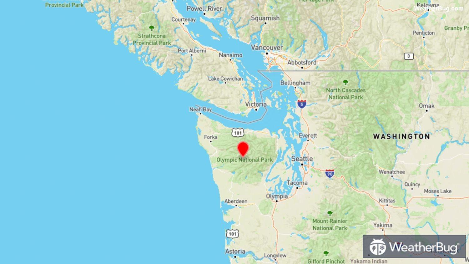
Great swaths of forest were lost, especially in Washington as a result of the storm system. According to The Forest Service, thousands of trees fell, resulting in the largest loss of standing timber at the time. Washington’s Olympic Mountains were hit hardest, thus leading to the name 'The Olympic Blowdown.'
Sources: climate.washington.edu, fs.usda.gov
During the morning of January 29, 1921, the warning signs arose that a dangerous storm was on the way to impact the Pacific Northwest. Around 8 a.m. PST, small craft warnings were issued by local forecasters to alert ships of the dangerous winds on the way. Just a few hours later, dramatic pressure drops were recorded at North Head, Wash., with a drop of 0.16 inches of mercury, or over 5 mb, in one hour.
Following the rapid pressure drop came the howling winds. Shortly after 3:30 p.m. PST, sustained winds at North Head, Wash., had reached an estimated 92 mph, equivalent to a strong Category 1 hurricane, with wind gusts even higher at a powerful 106 mph. Shortly after winds gusted above the century mark, the anemometer at North Head, Wash., had been destroyed, so it is quite possible wind gusts had reached even higher than what was already recorded.
North Head, Wash., was not the only area impacted by The Olympic Blowdown. The powerful storm system responsible for the mighty winds tracked from offshore the California/Oregon border to the northwest tip of the Washington coast. Multiple coastal areas from north of San Francisco to the Washington/Canada border recorded wind gusts in excess of hurricane-force.
Great swaths of forest were lost, especially in Washington as a result of the storm system. According to The Forest Service, thousands of trees fell, resulting in the largest loss of standing timber at the time. Washington’s Olympic Mountains were hit hardest, thus leading to the name 'The Olympic Blowdown.'
Sources: climate.washington.edu, fs.usda.gov