Back to forecast
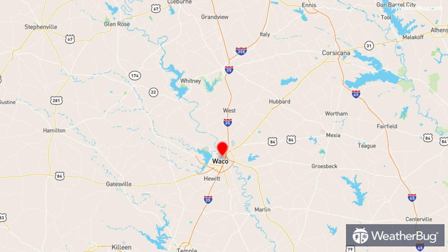
On This Day in 1953: Downtown Waco, Texas Tornado
May 10, 2021 at 07:07 PM EDT
By WeatherBug's Christopher Smith
Today marks the 68-year anniversary of one of the deadliest tornados on record in Texas.
May 11, 1953, started as a classic late-spring morning in Waco, Texas, as muggy Gulf of Mexico air streamed northward into central Texas. Temperatures were already in the 70s and 80s by 9:30 a.m. and dew points had soared into the lower 70s. Dissipating storms west of Waco near cities like Abilene, Texas, sent out cool outflow boundaries that act as a mechanism for new storm development.
The outflow boundaries from morning storms in combination with the warm, moist air mass in place would help ignite intense afternoon thunderstorms along a dry line that was separating warm, tropical air from much drier air. By 2:30 p.m., a devastating F4 tornado on the Fujita Scale, packing winds between 207 and 260 mph, struck San Angelo, Texas, about 200 miles west of Waco.
Around 4 p.m. local time, intense storms moved toward Waco, Texas. While winds were from an easterly component near Waco, nearby locations were seeing a southerly wind direction in advance of the low pressure, which suggests the morning outflow boundary helped create spin in the atmosphere to trigger the tornado. At 4:10 p.m. a tornado touched down in Lorena, Texas, just southwest of Waco.
Quickly after touching down, the tornado would plow toward downtown Waco. The one-third mile wide, rain-wrapped tornado destroyed almost everything in its path with little warning. In total, 114 people would be killed in Waco, Texas, with nearly 600 more injured. More than 600 homes and businesses were decimated while at least 1,000 buildings were damaged. In today’s currency, the damage cost up to a whopping $406 million. The tornado would end up being rated the highest possible on the Fujita Scale, a F5, packing winds over 261 mph.
The Waco, Texas, tornado that led to such tragedy spawned advancements in the meteorological community. Following the event, steps were implemented to establish a national radar network and report system to help improve lead time in forecasting such dangerous weather.
Today, there are more than 100 weather radars, storm spotters that report severe weather damage and data to the weather service and more efficient communication with emergency services that all help pinpoint more precisely where severe weather will strike. Taking all severe thunderstorm and tornado warnings seriously will help save lives in the long run.
Source: weather.gov