


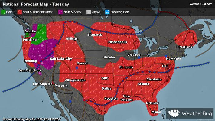
Severe Storms, Heavy Rain Hit Southern Plains
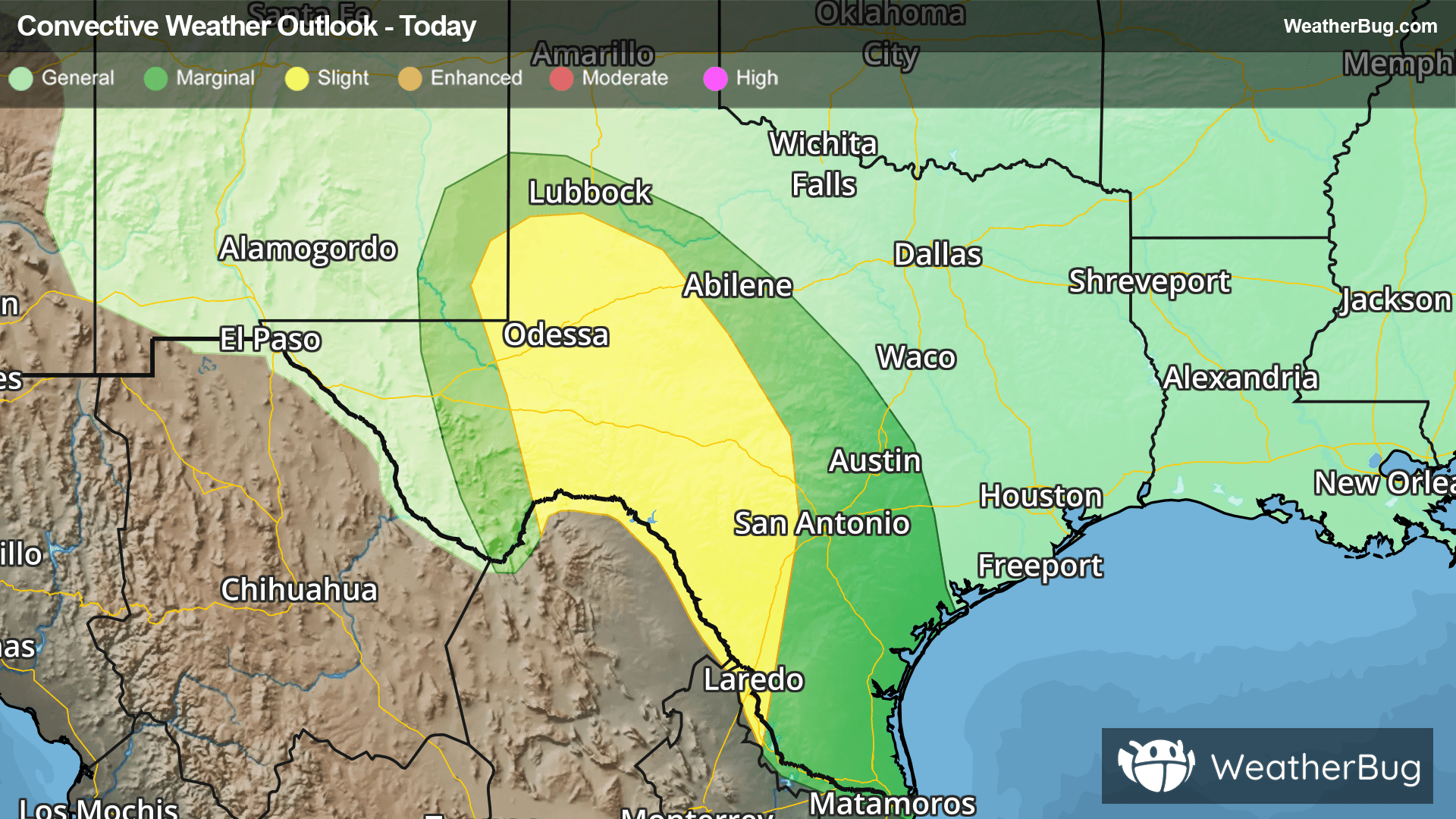
Stormy weather will create hazardous conditions in parts of western and central Texas throughout today into tonight.
Ongoing activity in western Texas and eastern New Mexico will gradually make its way eastward over the course of the day, reaching central Texas in the evening and overnight hours. While the morning activity will be primarily a rain hazard, the afternoon and evening will likely produce some severe storms in parts of Texas.
Large hail and gusty winds will be the primary severe weather threats, but a few tornadoes could also develop in western Texas. The Storm Prediction Center has issued Marginal and Slight Risks (levels 1 and 2 out of 5) in western and central Texas. Midland and Fort Stockton have the best chance for severe storms today, with lower severe threats in Lubbock, Abilene, and San Antonio.
Heavy rain could be just as big of an issue in Texas through tonight. Widespread rainfall of 1 to 2 inches and locally higher amounts of 3+ inches will be possible from western Texas to the I-35 corridor. If you do approach a flooded roadway, remember that it is always best to "Turn Around, Don’t Drown!"
The best way to remain safe is to stay prepared and informed about your local weather. Have a severe weather kit packed with a battery-operated radio, water, and non-perishable food items. Also, check the WeatherBug app frequently for any updates on today's severe weather. Remember, "When Thunder Roars, Go Indoors!"