Powerful Storms Blast Great Lakes
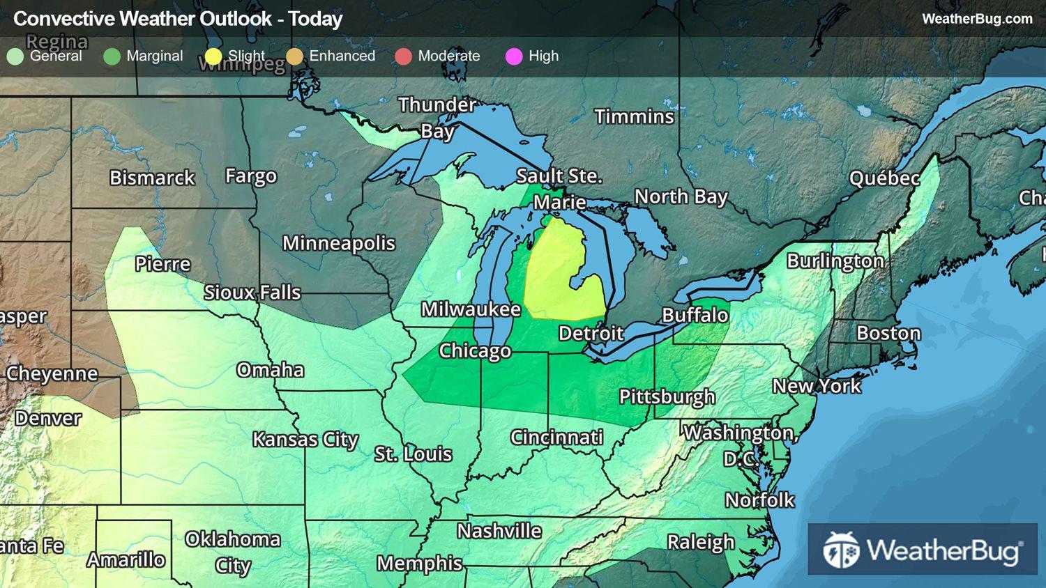
Strong to severe thunderstorms are blasting across the Great Lakes today. The main impacts from today's storms are damaging winds and hail, but isolated tornadoes will also be possible in the more robust storms.
The storm threat brewing is due to the combination of daytime heating cranking up the instability ahead of an approaching cold front. The warm, humid air in place over much of the Great Lakes is providing fuel for severe storms to fire.
A few strong to severe storms with winds in excess of 60 mph will be likely along with heavy rain and the potential of large hail and isolated tornadoes.
Cities at highest risk for severe storms today include Peoria and Chicago, Ilinois, Milwaukee, Wis., and Detroit, Mich.
Make sure you know the difference between a watch and warning should they be issued. A watch means that the ingredients for severe weather are present, and you should have a plan in place for acting. A warning means that severe weather is imminent, and you need to act fast to protect life and well-being. Make sure to remember the phrase, "When Thunder Roars, Go Indoors!"