Severe Storms to Light up the Southeast and Gulf Coast
Severe storms will light up the Southeast and Gulf Coast as a massive winter storm bears down on the Eastern U.S.
As a large snow and ice storm moves thru the Central and Eastern U.S., warm moist air will be in place in the far Southeast U.S. The moist air at the surface overlapping with cold temperatures and vicious winds aloft will create an environment conducive for severe storm development.
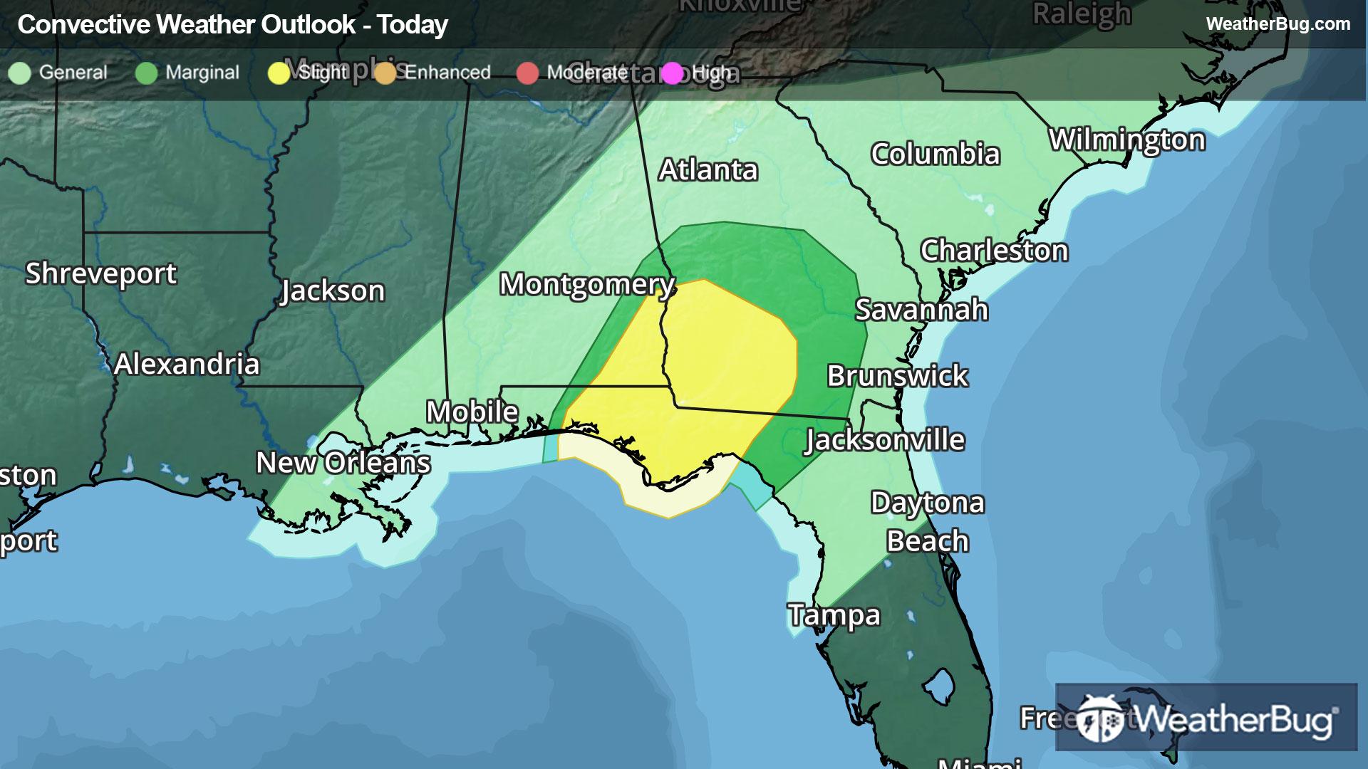
Damaging winds, heavy downpours, and even a few tornadoes will be the main threats involved. A Slight Risk is in effect for southeastern Alabama, southwestern Georgia, and the central portion of the panhandle of Florida. This includes places like Dothan, Ala., and Tallahassee, Fla.
Make sure to know the difference between a watch and a warning should they become issued. A watch means that conditions are favorable for severe weather to occur and to be on alert for any rapidly changing conditions. A warning means that severe weather is imminent, and you should act fast to remain safe.
The best way to remain safe is to stay prepared and informed about your local weather. Have a severe weather kit packed with a battery-operated radio, water, and non-perishable food items should you be without power for long periods of time. Also, check the WeatherBug app frequently for any updates on today's severe weather. Remember, "When Thunder Roars, Go Indoors!"