
Friday's Weather Outlook

A slow-moving cold front draped from the Mid-Atlantic southwest into the southern Plains will be the primary focus for active weather on Friday, supporting widespread showers and thunderstorms, some producing heavy rain, gusty winds, and localized flooding.
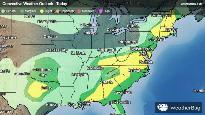
The Northeast will see mostly quiet weather, though across upstate New York and northern New England, conditions will remain somewhat unsettled with spotty activity and terrain-driven upslope showers and storms, particuarly along the Adirondacks and Green Mountains.
A band of showers and thunderstorms will move through the southern Mid-Atlantic during the morning into early afternoon as the front pushes east, with locally heavy downpours and gusty winds possible. The boundary then slows and begins to stall near or just south of the region later in the day, allowing for additional scattered storms into the afternoon and early evening.
Across the Southeast, deep tropical moisture lingering in the wake of the remnants of Arthur will remain entrenched, fueling numerous thunderstorms from the Carolinas into Georgia, Florida, and the Gulf Coast. This environment will support high rainfall rates and raises the potential for localized to scattered flash flooding, particularly where storms repeatedly track over the same areas.
Across the northern Plains into the western Great Lakes, scattered showers and thunderstorms will develop, especially from the Dakotas into Minnesota into Wisconsin, Iowa and upper Michigan. Coverage will be more hit-or-miss compared to areas in the Midwest, though locally heavy rainfall and brief gusty winds are still possible.
From the southern Plains into the lower Mississippi Valley, a significant heavy rain signal is expected. Multiple rounds of thunderstorms, including organizing mesoscale convective systems, may impact much of Texas and nearby regions. Lingering morning storms from prior convection may already be ongoing across north-central Texas, including the Metroplex, with widely scattered flash flooding possible early in the day. Additional storms later Friday into Friday night are expected to organize and track across an increasingly unstable and moisture-rich environment, increasing the risk for more widespread heavy rainfall and pockets of flash flooding.
The western U.S. remains relatively quiet overall, with just a few isolated showers and thunderstorms possible across portions of the northern Rockies and interior Northwest, while most of California and the Desert Southwest stay dry under high pressure.
Temperatures will vary across the southern half of the country, with triple-digit heat across the Southwest to 80s and 90s across the southern Plains, Southeast, and Florida. The Plains and Midwest will see warm conditions, with highs mainly in the 80s. Cooler air lingers across the northern tier, including the northern Plains and Great Lakes, where highs stay in the 60s and 70s. The Mid-Atlantic and Northeast will see 70s and 80s behind the front, with slightly cooler air beginning to filter in later in the day in its wake.