


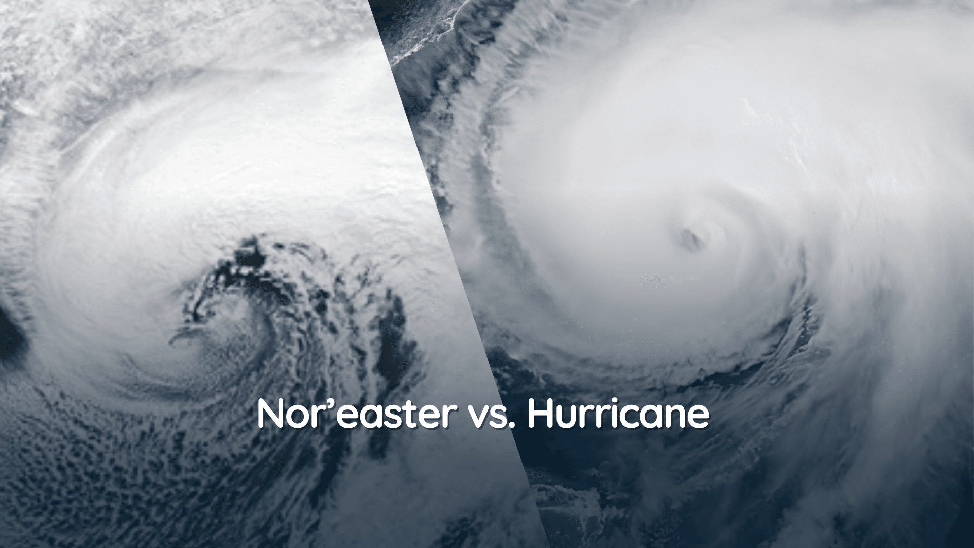
Will El Nino Bring More Snow This Winter?
If you love snow, a very strong El Niño might sound like promising news. It can strengthen southern storm tracks and send more moisture across parts of the United States. More storms should mean more snow, right?
Unfortunately, the atmosphere almost never makes it that easy.
El Niño can help provide one important ingredient for snow: moisture. But it doesn’t guarantee the other ingredient: cold air.
A region could have a wetter winter and still end up with less snow if too many storms arrive with temperatures above freezing.
So, will El Niño bring more snow during winter 2026–27? Let’s break it down region by region.
This Is Not a ‘Normal’ El Niño
The El Niño building in the Pacific is expected to be particularly strong. In its September 10 update, the NOAA Climate Prediction Center said there was a greater than 90% chance of a very strong event during fall and winter 2026–27. NOAA also gave it a 75% chance of reaching historic strength during October through December.
That increases the chance that we see some of the weather patterns commonly associated with El Niño, but it does not lock them in. Even the strongest events have produced very different winters.
We took a broader look at those expected temperature and precipitation changes in our 2026–27 El Niño winter outlook.
El Niño Moves Storms, Not Snowflakes
El Niño changes the position and strength of the jet streams that guide storms across the country. The southern jet stream usually becomes more active, delivering more moisture to the southern United States and sometimes up the East Coast.
At the same time, the northern jet stream often stays much farther north. That can favor warmer and drier conditions across parts of the Pacific Northwest, northern Rockies etc.
Where More Snow Could Fall
Higher elevations in the Sierra Nevada and southern Rocky Mountains can benefit from the more active southern storm track. These areas are often cold enough for additional moisture to fall as snow.
The southern and central Plains may also get more opportunities for snow. These regions do not necessarily need a snowstorm every week to finish above average. One or two well-timed storms can do most of the season's work.
Parts of the Appalachians could see a similar setup. El Niño can provide more moisture, while elevation offers a better chance of keeping temperatures cold enough for snow. Farther south and at lower elevations, that same storm may produce rain or ice instead.
Where Snow Could Fall Short
The Cascades, northern Rockies and Montana often lean warmer and drier during El Niño winters.
That means fewer snow opportunities, while warmer temperatures can melt what does fall.
The Great Lakes and East Coast Are Complicated
The Great Lakes sit in a region where the broad El Niño pattern can lean warmer and drier, but lake-effect snow depends on smaller details such as lake temperatures, wind direction and the timing of cold air.
I have forecasted winters in both northern Michigan and Ohio, and this is exactly where a broad seasonal pattern can lose out to a stubborn band of lake effect snow.
Research from the National Weather Service has also found no clean El Niño snowfall relationship, so it really is a toss up on what we’ll see.
The East Coast has its own problem. El Niño can bring active weather with back to back storms moving through the region but they still need cold air to produce snow.
Several major Mid-Atlantic snowstorms have occurred during El Niño winters, including the record-breaking winter of 2009–10. But that happened during a moderate El Niño.
The Bottom Line
El Niño could increase the odds of a snowier winter across parts of the southern and central United States, the Appalachians and higher elevations of the Sierra Nevada and southern Rockies. It may cap snowfall and snowpack across parts of the Pacific Northwest and northern Rockies.
For the Great Lakes, Northeast and Mid-Atlantic, El Niño gives us part of the story. Moisture may be there, but individual storms and short bursts of cold air will decide whether it falls as snow, rain or something messier in between.
In other words, keep the snow shovel handy this winter but keep an eye on the forecast. You might not need it as much as you think.