10-Day Weather Forecast - Bigler, PA
Weekend Weather
- 86|68°F
 70% Chance of StormsHourly details
Today
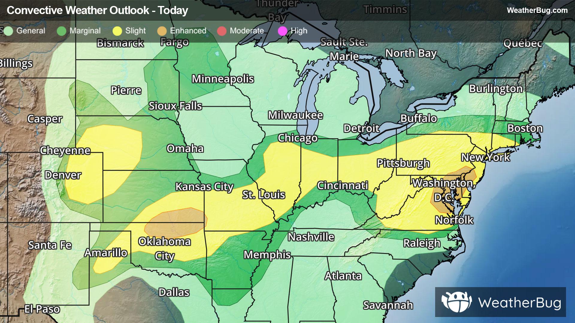
86°FThunderstorms likely with a chance of showers. Some thunderstorms may be severe with damaging winds and heavy rainfall. Hot with highs in the upper 80s. West winds 5 to 10 mph with gusts up to 20 mph. Chance of rain 70 percent.
Tonight
68°F
Mostly cloudy. A chance of showers and thunderstorms mainly in the evening. Patchy fog after midnight. Some thunderstorms may be severe with damaging winds and heavy rainfall in the evening. Humid with lows in the mid 60s. West winds 5 to 10 mph. Chance of rain 50 percent.
- 77|67°FThunderstormsHourly details
Day
77°FPatchy fog in the morning. Partly sunny with a chance of showers in the morning then mostly cloudy with showers with a chance of thunderstorms in the afternoon. Very warm. Humid with highs in the lower 80s. Southwest winds around 5 mph. Chance of rain 90 percent.
Night
67°FShowers likely with a chance of thunderstorms in the evening then a chance of showers after midnight. Humid with lows in the lower 60s. East winds around 5 mph. Chance of rain 70 percent.
- 75|65°FThunderstormsHourly details
Day
75°FShowers likely in the morning then showers with a chance of thunderstorms in the afternoon. Humid with highs in the mid 70s. East winds around 5 mph. Chance of rain near 100 percent.
Night
65°FShowers with a chance of thunderstorms in the evening then showers likely after midnight. Humid with lows in the lower 60s. Chance of rain near 100 percent.
- 75|64°F50% Chance of StormsHourly details
Day
75°FMostly cloudy with a chance of showers. A chance of thunderstorms in the afternoon. Humid with highs in the upper 70s. Chance of rain 50 percent.
Night
64°FA chance of thunderstorms in the evening. Mostly cloudy. Lows around 60. Chance of precipitation 50 percent.
- 79|64°F
 Mostly SunnyHourly details
Day
79°FMostly sunny. Very warm with highs in the lower 80s.
Night
64°F
Partly cloudy. Lows in the lower 60s.
- 80|66°F
 30% Chance Rain ShowersHourly details
Day
80°FMostly sunny. A chance of showers in the afternoon. Humid. Very warm with highs in the mid 80s. Chance of rain 30 percent.
Night
66°FMostly cloudy with a chance of showers and thunderstorms. Humid with lows in the mid 60s. Chance of rain 40 percent.
- 79|60°F70% Chance of Storms
Day
79°FMostly cloudy. A chance of showers in the morning then showers likely with a chance of thunderstorms in the afternoon. Humid with highs in the lower 80s. Chance of rain 70 percent.
Night
60°F
Partly cloudy with a 60% chance for rain and thunderstorms. Low temperature around 60F. Dew point will be around 61F with an average humidity of 82%. Winds will be 2 mph from the NW.
Weekend Weather
- 76|61°F
 60% Chance of Rain
Day
76°FMostly sunny with a chance of rain. Chance of precipitation 55%. High temperature around 76F. Dew point will be around 60F with an average humidity of 72%. Winds will be 1 mph from the W.
Night
61°FClear with a chance of rain. Chance of precipitation 50%. Low temperature around 61F. Dew point will be around 60F with an average humidity of 81%. Winds will be 1 mph from the SW.
- 75|60°F60% Chance of Rain
Day
75°FSunny with a chance of rain. Chance of precipitation 55%. High temperature around 75F. Dew point will be around 61F with an average humidity of 75%. Winds will be 2 mph from the SW.
Night
60°FClear with a chance of rain. Chance of precipitation 40%. Low temperature around 60F. Dew point will be around 59F with an average humidity of 82%. Winds will be 2 mph from the SW.
- 76|62°F40% Chance of Rain
Day
76°FSunny with a chance of rain. Chance of precipitation 35%. High temperature around 76F. Dew point will be around 60F with an average humidity of 71%. Winds will be 3 mph from the W.
Night
62°FClear with a slight chance of rain. Chance of precipitation 30%. Low temperature around 62F. Dew point will be around 60F with an average humidity of 80%. Winds will be 2 mph from the SW.