10-Day Weather Forecast - Brussels, IL
Weekend Weather
- |74°F
 50% Chance of StormsHourly details
Tonight
74°FPartly cloudy with a slight chance of showers and thunderstorms this evening then mostly cloudy with a chance of showers and thunderstorms after midnight. Patchy fog after midnight. Lows around 70. Southeast winds around 5 mph. Chance of rain 50 percent.
- 93|77°F
 Mostly SunnyHourly details
Day
93°FMostly sunny. A slight chance of showers and thunderstorms in the morning. Patchy fog in the morning. Humid with highs in the lower 90s. South winds 5 to 10 mph. Chance of rain 20 percent. Heat index values up to 105 in the afternoon.
Night
77°F
Clear in the evening then becoming partly cloudy. Humid with lows in the mid 70s. South winds 5 to 10 mph. Heat index values up to 106 early in the evening.
- 95|78°FMostly SunnyHourly details
Day
95°FMostly sunny. Humid with highs in the mid 90s. South winds 10 to 15 mph. Heat index values up to 107 in the afternoon.
Night
78°F
Mostly clear. Lows in the mid 70s. South winds 5 to 10 mph. Heat index values up to 106 early in the evening.
- 97|78°F
 Hot and HumidHourly details
Day
97°FSunny hot with highs in the mid 90s. Heat index values up to 105.
Night
78°F
Clear hot. Lows in the mid 70s. Highs in the mid 90s. Heat index values up to 105.
- 96|78°FHot and HumidHourly details
Day
96°FClear hot. Lows in the mid 70s. Highs in the mid 90s. Heat index values up to 105.
Night
78°FMostly clear. Lows in the mid 70s. Heat index values up to 105 early in the evening.
- 94|78°F
 SunnyHourly details
Day
94°FSunny with a slight chance of showers and thunderstorms. Highs in the mid 90s. Chance of rain 20 percent. Heat index values up to 105.
Night
78°FPartly cloudy. Lows in the mid 70s. Heat index values up to 105 early in the evening.
- 95|78°FMostly SunnyHourly details
Day
95°FMostly clear with a slight chance of showers and thunderstorms. Highs in the lower 90s. Lows in the lower 70s. Chance of rain 20 percent. Heat index values up to 105.
Night
78°FMostly clear with a slight chance of showers and thunderstorms. Highs in the lower 90s. Lows in the lower 70s. Chance of rain 20 percent. Heat index values up to 105.
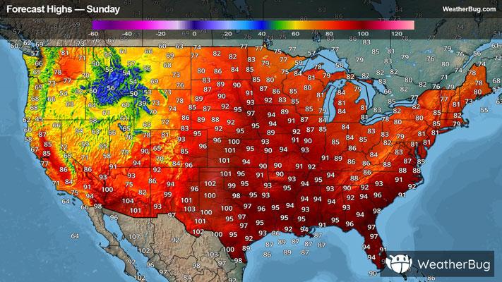
Weekend Weather
- 92|77°FMostly Sunny
Day
92°FMostly clear with a slight chance of showers and thunderstorms. Highs in the lower 90s. Lows in the lower 70s. Chance of rain 20 percent. Heat index values up to 105.
Night
77°F
Clear with a 45% chance for rain and thunderstorms. Low temperature around 77F. Dew point will be around 75F with an average humidity of 79%. Winds will be 3 mph from the SE.
- 89|75°F
 50% Chance of Rain
Day
89°FMostly sunny with a 50% chance for rain and thunderstorms. High temperature around 89F. Dew point will be around 74F with an average humidity of 72%. Winds will be 2 mph from the E.
Night
75°FMostly clear with a 50% chance for rain and thunderstorms. Low temperature around 75F. Dew point will be around 74F with an average humidity of 82%. Winds will be 3 mph from the E.
- 89|74°F50% Chance of Rain
Day
89°FSunny with a 50% chance for rain and thunderstorms. High temperature around 89F. Dew point will be around 74F with an average humidity of 72%. Winds will be 2 mph from the NE.
Night
74°FClear with a 35% chance for rain and thunderstorms. Low temperature around 74F. Dew point will be around 74F with an average humidity of 82%. Winds will be 2 mph from the NE.