10-Day Weather Forecast - Sugarcreek, PA
- 91|71°F
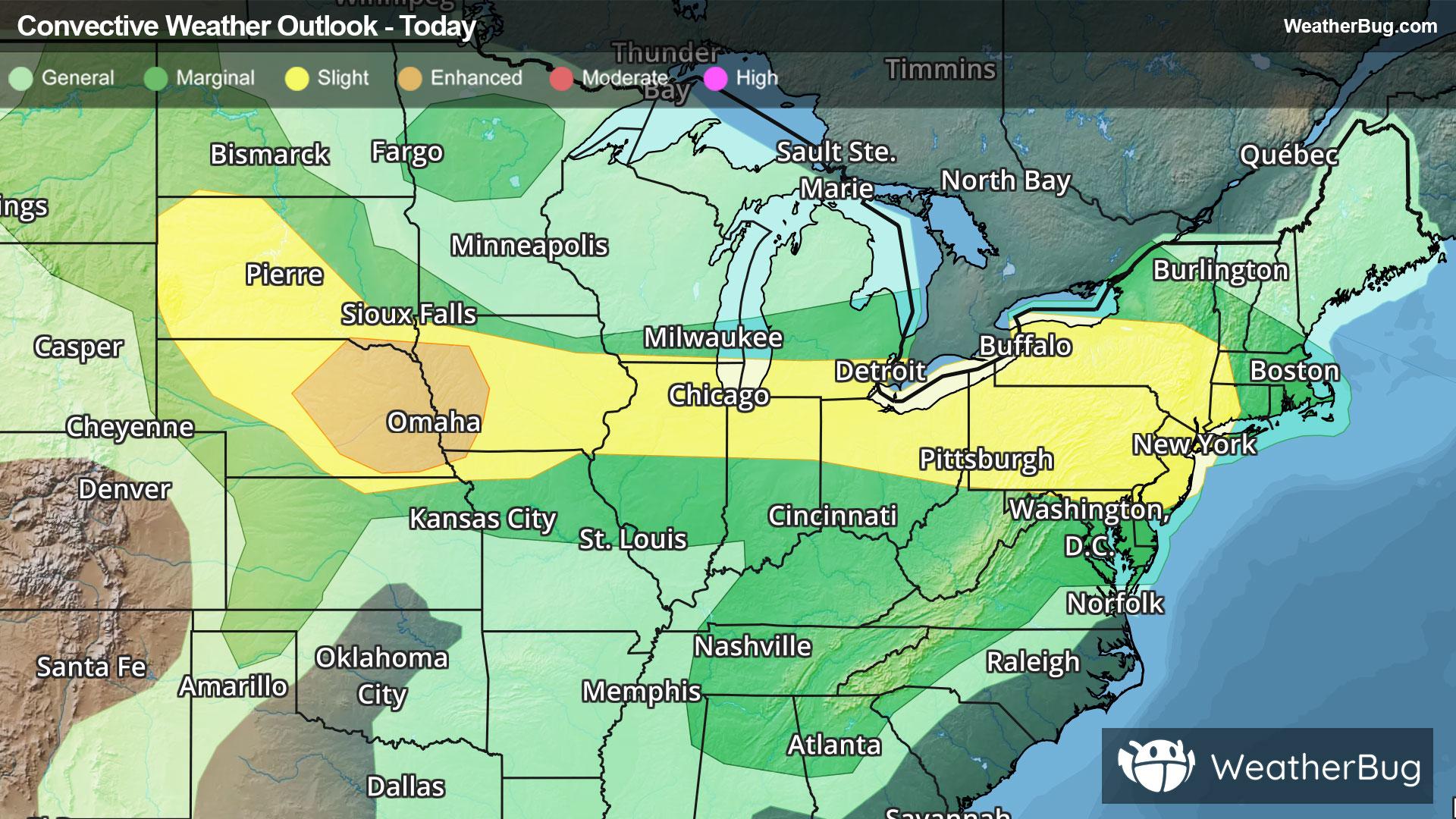
 30% Chance of RainHourly details
Today
91°FMostly sunny with a slight chance of rain. Chance of precipitation 25%. High temperature around 91F. Dew point will be around 72F with an average humidity of 69%. Winds will be 8 mph from the W.
Tonight
71°F
Mainly clear. Isolated showers and thunderstorms this evening then scattered showers and thunderstorms after midnight. Some thunderstorms may be severe with damaging winds and large hail this evening. Lows around 70. West winds 5 to 10 mph. Chance of rain 30 percent.
Weekend Weather
- 81|70°F
 50% Chance of StormsHourly details
Day
81°FPartly sunny. Isolated showers and thunderstorms in the morning then scattered showers and thunderstorms in the afternoon. Humid with highs in the upper 80s. West winds 5 to 10 mph. Chance of rain 50 percent. Heat index values in the mid 90s.
Night
70°FMostly cloudy with scattered showers. Scattered thunderstorms mainly in the evening. Patchy fog after midnight. Humid with lows in the upper 60s. West winds around 5 mph becoming south after midnight. Chance of rain 50 percent.
- 80|69°F80% Chance of StormsHourly details
Day
80°FConsiderable cloudiness. Patchy fog in the morning. Scattered showers with isolated thunderstorms in the morning then showers and scattered thunderstorms in the afternoon. Humid with highs in the mid 80s. Southwest winds around 5 mph. Chance of rain 80 percent.
Night
69°FA chance of thunderstorms. Showers with lows in the mid 60s. Southeast winds around 5 mph. Chance of rain 90 percent.
- 78|67°FThunderstormsHourly details
Day
78°FConsiderable cloudiness. A chance of showers and thunderstorms in the morning then showers with thunderstorms likely in the afternoon. Highs in the lower 80s. Chance of rain 90 percent.
Night
67°FMostly cloudy. Showers with thunderstorms likely in the evening then a chance of showers after midnight. Lows in the mid 60s. Chance of rain 90 percent.
- 79|66°F50% Chance of StormsHourly details
Day
79°FPartly sunny with a chance of showers. A chance of thunderstorms in the afternoon. Highs in the lower 80s. Chance of rain 50 percent.
Night
66°FMostly cloudy. A chance of showers and thunderstorms in the evening. Lows in the lower 60s. Chance of rain 50 percent.
- 80|65°F
 Partly CloudyHourly details
Day
80°FPartly sunny in the morning then becoming partly cloudy. Highs in the mid 80s.
Night
65°F
Partly cloudy. Lows in the lower 60s.
- 82|67°F
 30% Chance Rain Showers
Day
82°FPartly cloudy. A chance of showers in the afternoon. Highs in the mid 80s. Chance of rain 30 percent.
Night
67°F
Mostly cloudy with a chance of showers. Lows in the mid 60s. Chance of rain 40 percent.
- 79|66°F50% Chance of Storms
Day
79°FPartly sunny. A chance of showers and thunderstorms in the afternoon. Highs in the mid 80s. Chance of rain 50 percent.
Night
66°F
Partly cloudy with a 60% chance for rain and thunderstorms. Low temperature around 66F. Dew point will be around 67F with an average humidity of 90%. Winds will be 2 mph from the W.
Weekend Weather
- 76|64°F60% Chance of Rain
Day
76°FMostly sunny with a chance of rain. Chance of precipitation 60%. High temperature around 76F. Dew point will be around 65F with an average humidity of 78%. Winds will be 3 mph from the W.
Night
64°FClear with a chance of rain. Chance of precipitation 40%. Low temperature around 64F. Dew point will be around 63F with an average humidity of 86%. Winds will be 2 mph from the NW.
- 77|63°F40% Chance of Rain
Day
77°FSunny with a chance of rain. Chance of precipitation 40%. High temperature around 77F. Dew point will be around 62F with an average humidity of 71%. Winds will be 5 mph from the W.
Night
63°FClear with a slight chance of rain. Chance of precipitation 30%. Low temperature around 63F. Dew point will be around 61F with an average humidity of 84%. Winds will be 2 mph from the NW.