10-Day Weather Forecast - Summit Lake, WI
- 81|65°F
 50% Chance of StormsHourly details
Today
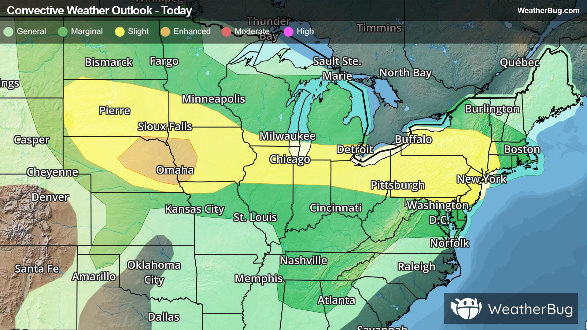
81°FHumid. Mostly cloudy. Patchy fog in the morning. A chance of showers and thunderstorms in the afternoon. Highs in the lower 80s. Light and variable wind becoming southwest 5 to 10 mph in the afternoon. Chance of rain 50 percent.
Tonight
65°F
Partly cloudy in the evening then becoming mostly cloudy. A chance of showers and thunderstorms. Patchy fog after midnight. Lows in the lower 60s. Light and variable wind. Chance of rain 50 percent.
Weekend Weather
- 74|60°F50% Chance of StormsHourly details
Day
74°FMostly cloudy with a chance of showers and thunderstorms. Highs in the middle 70s. East wind 5 to 10 mph. Chance of rain 50 percent.
Night
60°F
Mostly cloudy. A chance of showers. Lows in the upper 50s. Northeast wind 5 to 10 mph. Chance of rain 50 percent.
- 70|57°F
 30% Chance Rain ShowersHourly details
Day
70°FPartly sunny with a 30 percent chance of showers. Highs in the middle 70s. Northeast wind 5 to 10 mph.
Night
57°F
Partly cloudy. Lows in the middle 50s.
- 79|61°F
 Mostly SunnyHourly details
Day
79°FMostly clear. Highs in the lower 80s. Lows in the upper 50s.
Night
61°F
Mostly clear. Highs in the lower 80s. Lows in the upper 50s.
- 82|63°FMostly SunnyHourly details
Day
82°FMostly clear. Highs in the lower 80s. Lows in the upper 50s.
Night
63°FPartly cloudy. Lows around 60.
- 80|64°FMostly SunnyHourly details
Day
80°FMostly sunny. Highs in the middle 80s.
Night
64°FPartly cloudy with a chance of showers. Lows in the lower 60s. Chance of rain 40 percent.
- 76|60°F50% Chance of Storms
Day
76°FPartly sunny with a 50 percent chance of showers and thunderstorms. Highs in the lower 80s.
Night
60°F
Partly cloudy with a 60% chance for rain and thunderstorms. Low temperature around 60F. Dew point will be around 59F with an average humidity of 81%. Winds will be 3 mph from the N.
- 78|60°F
 40% Chance of Rain
Day
78°FSunny with a chance of rain. Chance of precipitation 40%. High temperature around 78F. Dew point will be around 58F with an average humidity of 62%. Winds will be 3 mph from the N.
Night
60°FClear with a slight chance of rain. Chance of precipitation 30%. Low temperature around 60F. Dew point will be around 57F with an average humidity of 74%. Winds will be 2 mph from the NW.
Weekend Weather
- 75|59°F30% Chance of Rain
Day
75°FSunny with a slight chance of rain. Chance of precipitation 30%. High temperature around 75F. Dew point will be around 57F with an average humidity of 64%. Winds will be 4 mph from the NW.
Night
59°FClear with a slight chance of rain. Chance of precipitation 25%. Low temperature around 59F. Dew point will be around 55F with an average humidity of 73%. Winds will be 3 mph from the NW.
- 75|58°F
 Sunny
SunnyDay
75°FSunny. High temperature around 75F. Dew point will be around 54F with an average humidity of 60%. Winds will be 4 mph from the NW.
Night
58°F
Clear. Low temperature around 58F. Dew point will be around 53F with an average humidity of 69%. Winds will be 2 mph from the NW.