10-Day Weather Forecast - Ward, AL
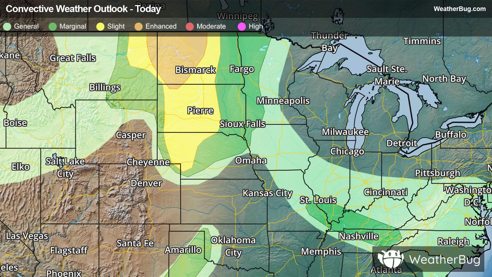
Weekend Weather
- |75°F
 Mostly ClearHourly details
Tonight
75°FMostly clear. Lows in the mid 70s. Southwest winds around 5 mph.
- 94|74°F
 SunnyHourly details
Day
94°FSunny. Highs in the mid 90s. West winds around 5 mph.
Night
74°F
Mostly clear in the evening then becoming partly cloudy. Patchy fog after midnight. Lows in the mid 70s. Southwest winds around 5 mph.
- 95|76°F
 Mostly SunnyHourly details
Day
95°FPatchy fog in the morning. Mostly sunny. Highs in the mid 90s. Northwest winds around 5 mph in the morning becoming light and variable. Heat index values up to 107.
Night
76°FMostly clear. Lows in the mid 70s. Light and variable winds.
- 92|74°F
 70% Chance of StormsHourly details
Day
92°FSunny. A chance of showers and thunderstorms in the morning then showers and thunderstorms likely in the afternoon. Highs in the mid 90s. Chance of rain 70 percent.
Night
74°F
Partly cloudy. A chance of showers and thunderstorms in the evening. Lows in the mid 70s. Chance of rain 50 percent.
- 89|74°F60% Chance of StormsHourly details
Day
89°FMostly sunny. A chance of showers and thunderstorms in the morning then showers and thunderstorms likely in the afternoon. Highs in the lower 90s. Chance of rain 60 percent.
Night
74°FPartly cloudy with a slight chance of showers and thunderstorms in the evening then mostly clear after midnight. Lows in the lower 70s. Chance of rain 20 percent.
- 90|75°F40% Chance of StormsHourly details
Day
90°FMostly sunny. A slight chance of showers and thunderstorms in the morning then a chance of showers and thunderstorms in the afternoon. Highs in the lower 90s. Chance of rain 40 percent.
Night
75°FPartly cloudy in the evening then clearing. Lows in the mid 70s.
- 92|74°F40% Chance of StormsHourly details
Day
92°FMostly sunny. A slight chance of showers and thunderstorms in the morning then a chance of showers and thunderstorms in the afternoon. Highs in the lower 90s. Chance of rain 40 percent. Heat index values up to 105.
Night
74°FPartly cloudy in the evening then clearing. Lows in the mid 70s.
Weekend Weather
- 92|74°F40% Chance of Storms
Day
92°FMostly sunny. A chance of showers and thunderstorms in the afternoon. Highs in the mid 90s. Chance of rain 40 percent. Heat index values up to 105.
Night
74°FMostly clear with a 70% chance for rain and thunderstorms. Low temperature around 74F. Dew point will be around 74F with an average humidity of 85%. Winds will be 2 mph from the SW.
- 91|74°F60% Chance of Storms
Day
91°FPartly cloudy with a 55% chance for rain and thunderstorms. High temperature around 91F. Dew point will be around 74F with an average humidity of 73%. Winds will be 2 mph from the SW.
Night
74°FPartly cloudy with a 65% chance for rain and thunderstorms. Low temperature around 74F. Dew point will be around 74F with an average humidity of 85%. Winds will be 2 mph from the SW.
- 90|74°F70% Chance of Storms
Day
90°FMostly sunny with a 75% chance for rain and thunderstorms. High temperature around 90F. Dew point will be around 75F with an average humidity of 77%. Winds will be 3 mph from the SW.
Night
74°FPartly cloudy with a 90% chance for rain and thunderstorms. Low temperature around 74F. Dew point will be around 74F with an average humidity of 88%. Winds will be 3 mph from the SW.