Halloween Weather Forecast 2026: Who Could See Rain?
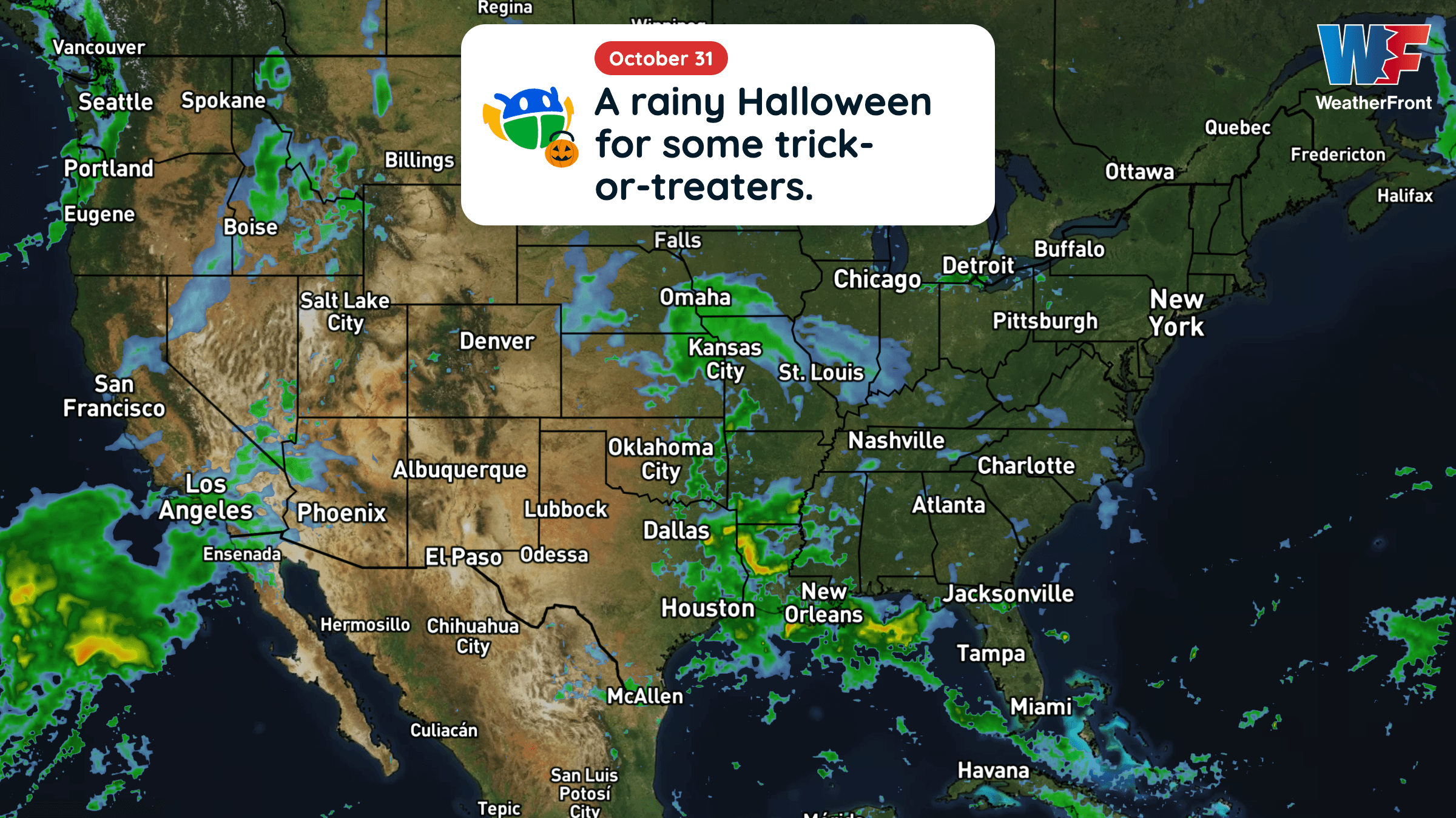
Halloween will be warmer than average across much of the central and eastern U.S., but rain could complicate trick-or-treating in several regions.
Read More
47degrees Fahrenheit

Feels like:47°
Hi:53°Lo:41°
40% Chance of Light Rain
Hi

Patchy fog in the morning. Mostly cloudy in the morning, then mostly sunny with a slight chance of rain in the afternoon. Highs in the mid 50s. Winds light. Chance of rain 20 percent.
Lo

Mostly cloudy. Patchy fog. A slight chance of rain after midnight. Lows in the mid 30s. Light and variable winds. Chance of rain 20 percent.


Rain ending in 10 minutes.
Closest strike in the last 30 minutes:1426.3 miles
No Lightning Nearby


Halloween will be warmer than average across much of the central and eastern U.S., but rain could complicate trick-or-treating in several regions.