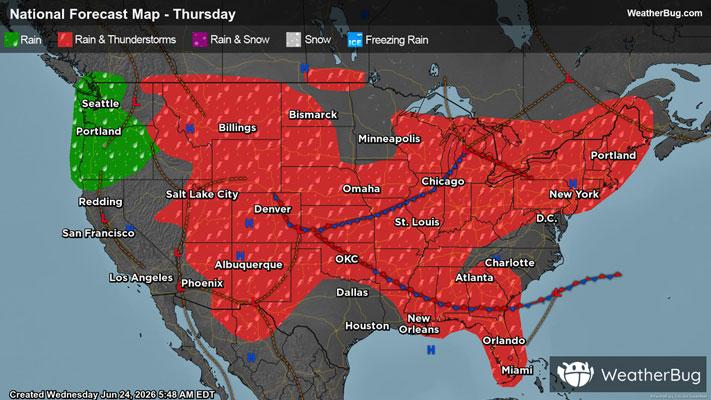
Intermountain West, High Plains Targeted by Severe Thunderstorms
The High Plains and a portion of the Intermountain West are locations to watch for severe thunderstorms today
Read More
86degrees Fahrenheit

Feels like:83°
Hi:88°Lo:54°
Sunny
Hi

Partly cloudy. High temperature around 88F. Dew point will be around 33F with an average humidity of 28%. Winds will be 5 mph from the W.
Lo

Partly cloudy. A slight chance of showers and thunderstorms this evening. Thunderstorms may produce gusty winds this evening. Chance of rain 20 percent. Lows 49 to 57. Breezy. Northwest winds 10 to 20 mph. Gusts to 35 mph this evening decreasing to 25 mph after midnight.


Closest strike in the last 30 minutes:236.1 miles
No Lightning Nearby