Halloween Weather Forecast 2026: Who Could See Rain?
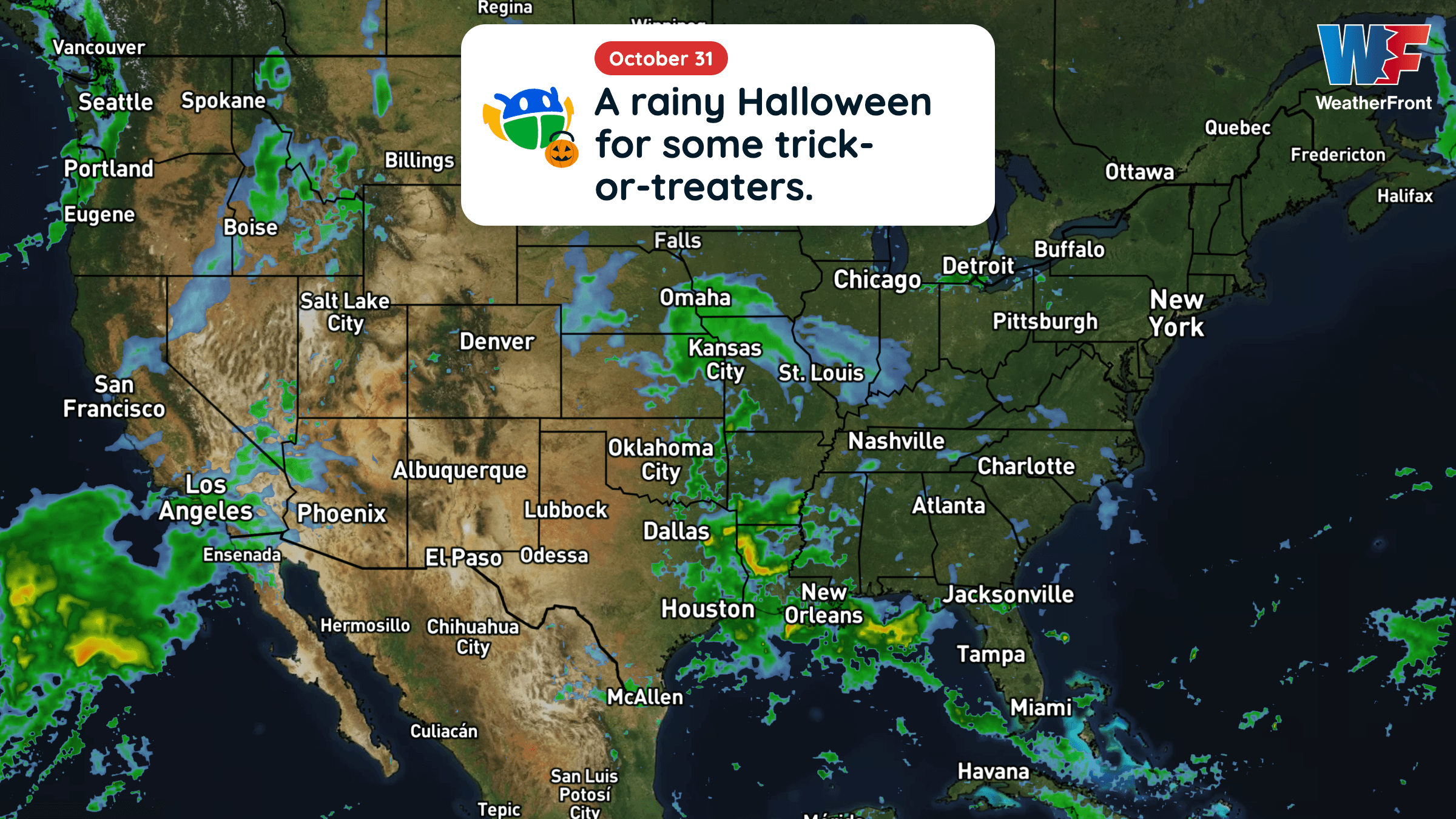
Halloween will be warmer than average across much of the central and eastern U.S., but rain could complicate trick-or-treating in several regions.
Read More
48degrees Fahrenheit

Feels like:45°
Hi:70°Lo:47°
Hazy
Hi

Sunny, warm with highs around 70. South winds 5 to 10 mph, becoming southwest 10 to 15 mph.
Lo

Showers in the evening, then showers likely overnight. Lows in the lower 40s. Southwest winds 10 to 15 mph, becoming northwest 5 to 10 mph. Chance of rain 80 percent.


Closest strike in the last 30 minutes:1071.3 miles
No Lightning Nearby


Halloween will be warmer than average across much of the central and eastern U.S., but rain could complicate trick-or-treating in several regions.