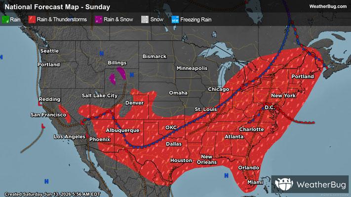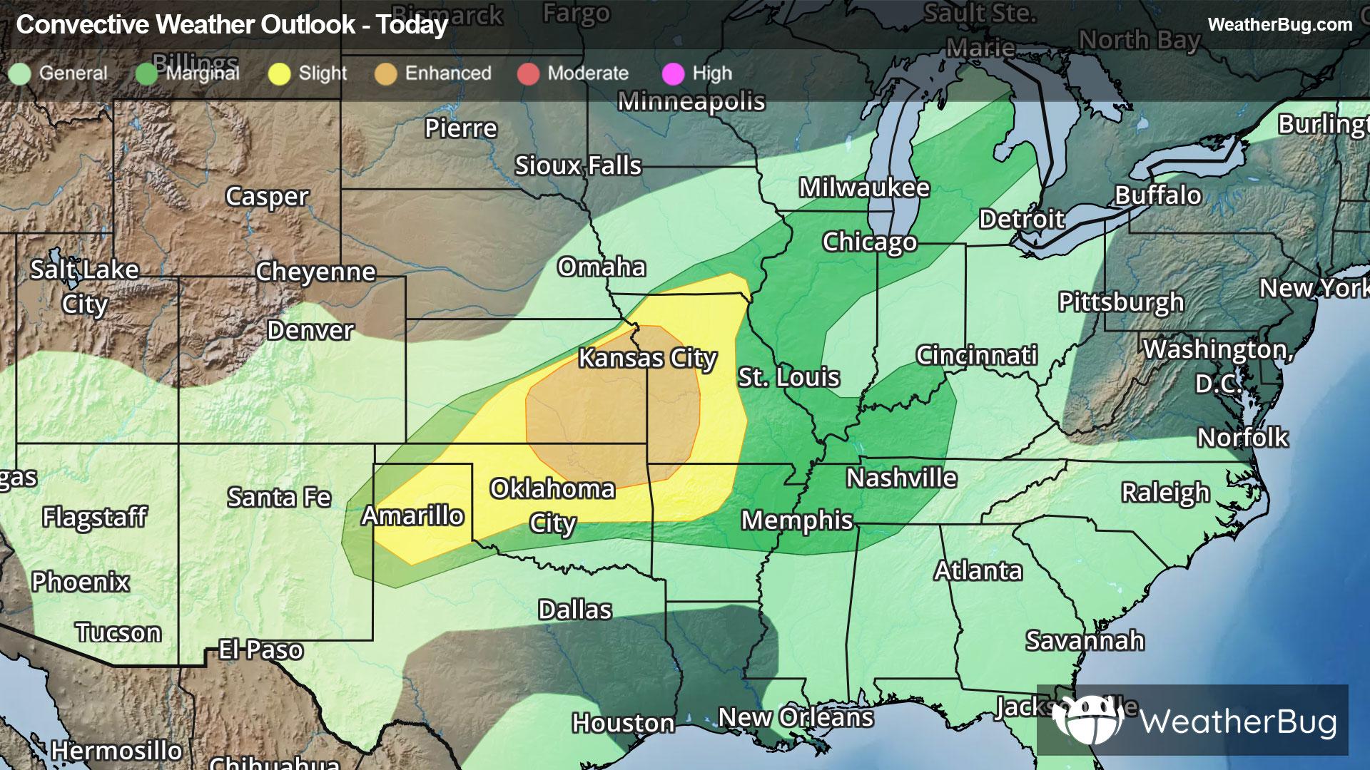
Severe Storms Taking Shape Across the Central U.S.
A new round of severe thunderstorms is taking aim across portions of the central Plains into the Midwest this evening.
Read More

Partly Cloudy
Lo

Partly cloudy. A chance of showers after midnight. Lows in the upper 50s. Southwest winds around 10 mph. Chance of rain 50 percent.
Hi

Partly sunny in the morning then becoming mostly cloudy. A chance of showers. A chance of thunderstorms in the afternoon. Some thunderstorms may produce gusty winds and heavy rainfall in the afternoon. Highs in the mid 70s. Southwest winds around 10 mph with gusts up to 30 mph. Chance of rain 50 percent.


Closest strike in the last 30 minutes:282.9 miles
No Lightning Nearby