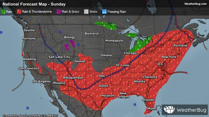
Severe Storms To Strike The Northeast Down Into The Southeast
Strong to severe thunderstorms are likely to develop across the Northeast, Mid-Atlantic and parts of the Southeast later this afternoon and evening leading to travel delays.
Read More

80% Chance of Light Rain
Hi

A chance of showers and thunderstorms late this morning then showers with a chance of thunderstorms this afternoon. Early afternoon highs in the upper 70s then temperatures falling into the mid 60s. Southwest winds 10 to 15 mph becoming northwest 10 mph or less. Chance of rain near 100 percent.
Lo

Mostly cloudy with showers likely with a chance of thunderstorms in the evening then mainly clear overnight. Much cooler. Less humid with lows in the upper 40s. Light northwest winds. Chance of rain 70 percent.


Closest strike in the last 30 minutes:4.9 miles
Stay Alert!