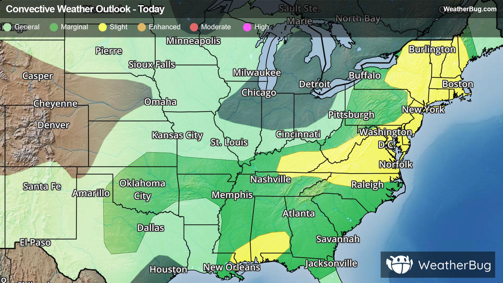
Severe Storms And Flooding Concerns Across The Eastern U.S.
Gusty winds and tornadoes will be the main severe threats, with storms also posing a risk for flooding.
Read More
65degrees Fahrenheit

Feels like:65°
Hi:67°Lo:47°
Mostly Sunny
Hi

Partly cloudy with a slight chance of rain. Chance of precipitation 25%. High temperature around 67F. Dew point will be around 56F with an average humidity of 84%. Winds will be 10 mph from the W.
Lo

Partly cloudy this evening then becoming mostly clear. Lows in the mid 40s. Northwest winds 5 to 10 mph.


Closest strike in the last 30 minutes:351.8 miles
No Lightning Nearby


