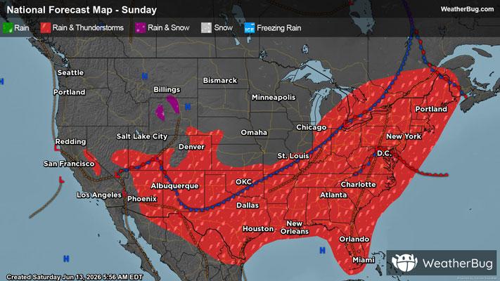
Severe Storms To Strike The Northeast Down Into The Southeast
Strong to severe thunderstorms are likely to develop across the Northeast, Mid-Atlantic and parts of the Southeast later this afternoon and evening leading to travel delays.
Read More

Partly Cloudy
Lo

Mostly clear. Low temperature around 64F. Dew point will be around 60F with an average humidity of 68%. Winds will be 7 mph from the S.
Hi

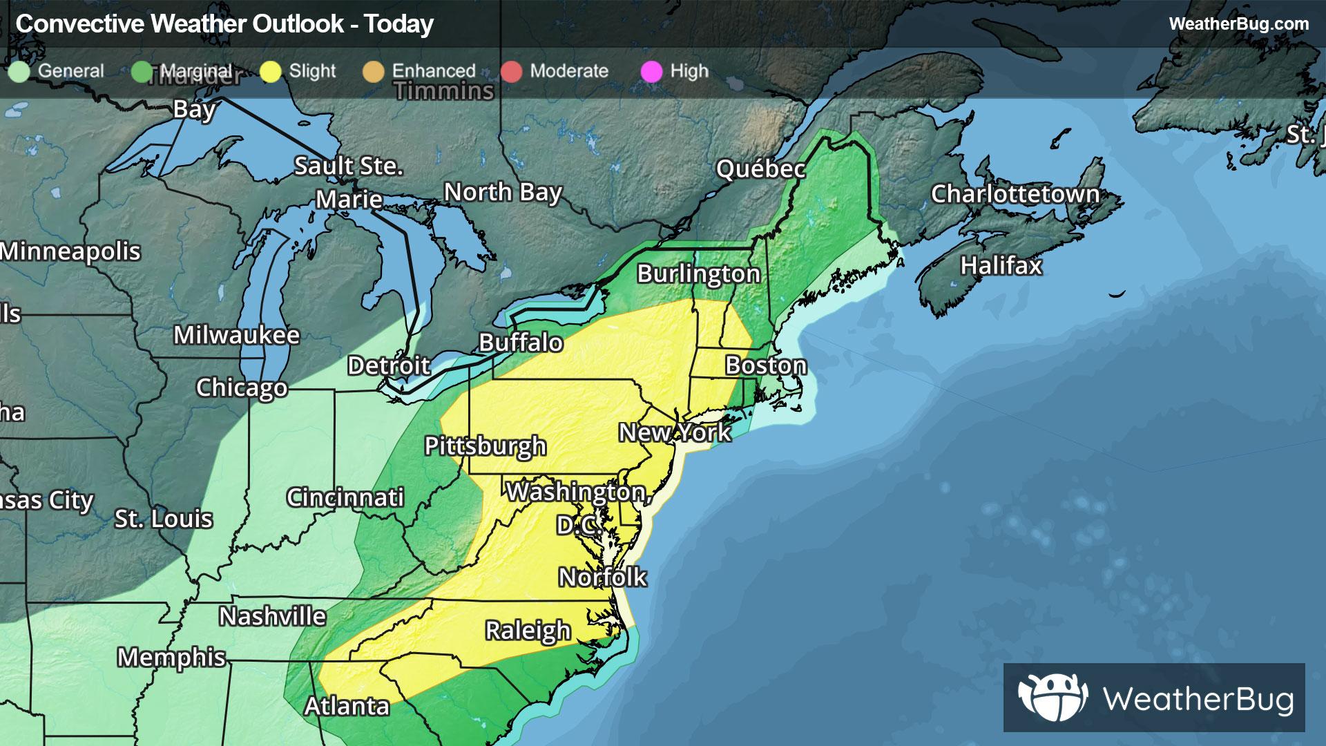
Partly sunny this morning then showers with a chance of thunderstorms this afternoon. Some thunderstorms may produce gusty winds and heavy rainfall this afternoon. Highs in the upper 80s. Southwest winds 5 to 10 mph with gusts up to 20 mph. Chance of rain near 100 percent.


Closest strike in the last 30 minutes:147.2 miles
No Lightning Nearby