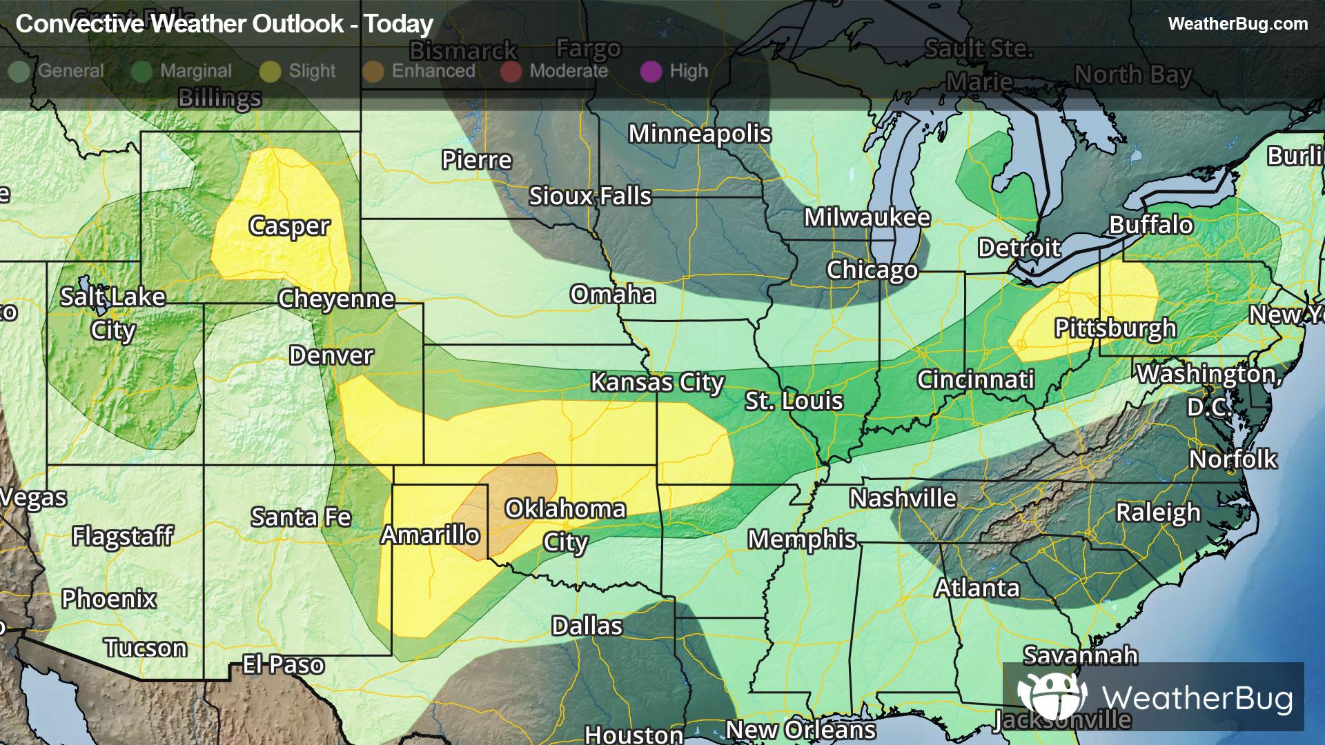
Central & Southern Plains Under Severe Threat
A low pressure system tracking across the central U.S. will produce severe thunderstorms over the southern Plains today.
Read More
79degrees Fahrenheit

Feels like:79°
Hi:79°Lo:65°
Partly Cloudy
Hi

Partly cloudy. High temperature around 79F. Dew point will be around 65F with an average humidity of 75%. Winds will be 8 mph from the W.
Lo

Mostly cloudy. A chance of showers and thunderstorms after midnight. Lows in the lower 60s. North winds 5 to 10 mph becoming east after midnight. Chance of rain 50 percent.


Closest strike in the last 30 minutes:165.9 miles
No Lightning Nearby


