
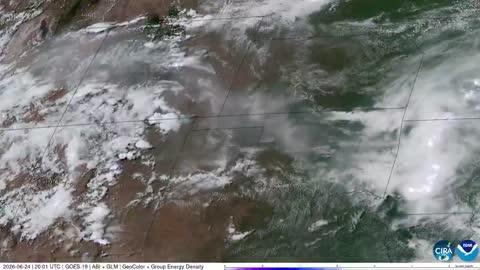
Dangerous Storms Near High, Southern Plains
Several disturbances will trigger severe thunderstorms today across the U.S.
Read More
68degrees Fahrenheit

Feels like:68°
Hi:68°Lo:52°
80% Chance Rain Showers
Hi

Cloudy with likely rain. Chance of precipitation 95%. High temperature around 68F. Dew point will be around 48F with an average humidity of 78%. Winds will be 2 mph from the NW.
Lo

Widespread rain showers. Scattered thunderstorms mainly this evening. Thunderstorms may produce gusty winds this evening. Thunderstorms may produce heavy rainfall and gusty winds after midnight. Chance of rain near 100 percent. Lows 43 to 53. Northwest winds 10 to 15 mph with gusts to 25 mph.

Closest strike in the last 30 minutes:5.8 miles
Stay Alert!


