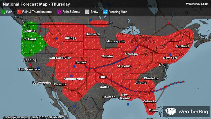
Intermountain West, High Plains Targeted by Severe Thunderstorms
The High Plains and a portion of the Intermountain West are locations to watch for severe thunderstorms today
Read More
66degrees Fahrenheit

Feels like:66°
Hi:70°Lo:64°
Partly Cloudy
Lo

Clear. Low temperature around 64F. Dew point will be around 65F with an average humidity of 78%. Winds will be 5 mph from the N.
Hi

Partly cloudy. High temperature around 84F. Dew point will be around 64F with an average humidity of 60%. Winds will be 8 mph from the NE.


Closest strike in the last 30 minutes:825.0 miles
No Lightning Nearby