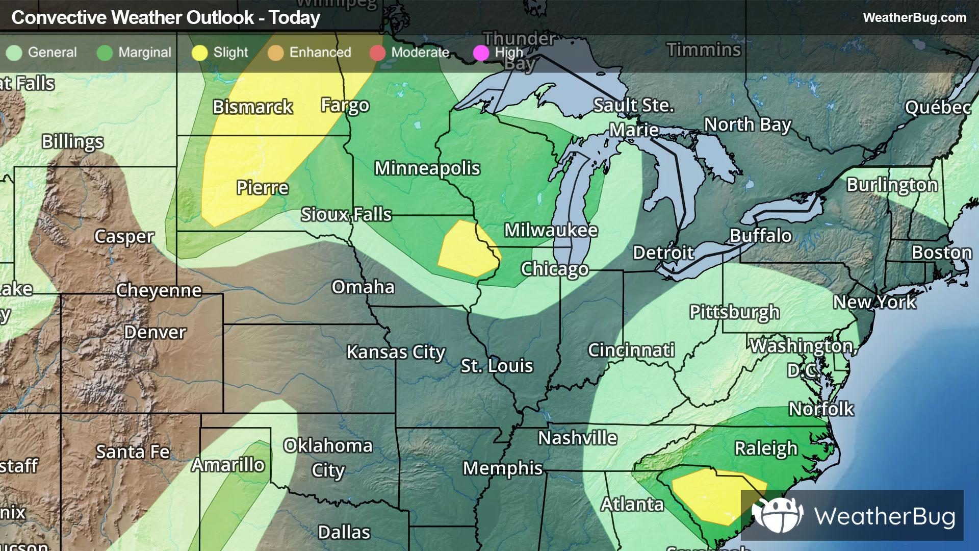
Storms And Flooding Impact The Northern Plains To The Carolinas
Strong to severe thunderstorms will occur across the northern Plains today bringing risks that will impact travel.
Read More
43degrees Fahrenheit

Feels like:40°
Hi:43°Lo:39°
50% Chance of Light Rain
Hi

Mostly cloudy with likely rain. Chance of precipitation 100%. High temperature around 39F. Dew point will be around 35F with an average humidity of 82%. Winds will be 4 mph from the W.
Lo

Rain likely until early morning then rain and snow likely late in the night. Chance of precipitation near 100 percent. Snow level 6500 feet. No snow accumulation. Lows in the mid 30s to lower 40s. Southwest winds to 15 mph in the evening.


Closest strike in the last 30 minutes:327.7 miles
No Lightning Nearby
Strong to severe thunderstorms will occur across the northern Plains today bringing risks that will impact travel.


