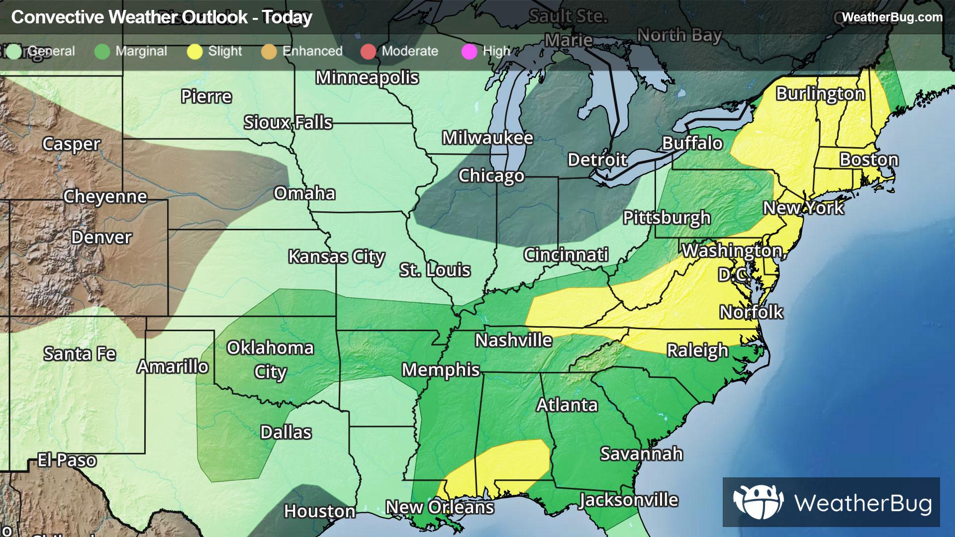
Severe Storms And Flooding Concerns Across The Eastern U.S.
Gusty winds and tornadoes will be the main severe threats, with storms also posing a risk for flooding.
Read More
71degrees Fahrenheit

Feels like:71°
Hi:73°Lo:55°
Mostly Sunny
Hi

Mostly sunny. Near steady temperature in the lower 70s. Northwest winds 5 to 15 mph.
Lo

Mostly clear. A 20 percent chance of light rain showers in the evening. Lows in the lower 50s. West winds up to 10 mph.


Closest strike in the last 30 minutes:350.6 miles
No Lightning Nearby


