
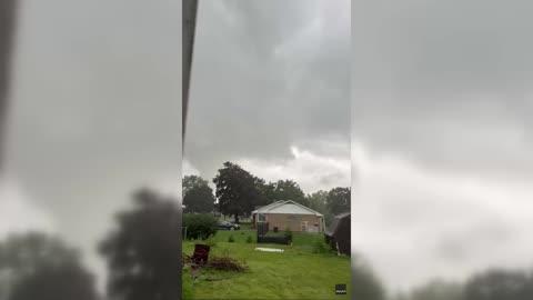
Severe Storms To Strike The Northeast Down Into The Southeast
Strong to severe thunderstorms are likely to develop across the Northeast, Mid-Atlantic and parts of the Southeast later this afternoon and evening leading to travel delays.
Read More

70% Chance of Light Rain
Hi

Partly sunny with a slight chance of showers and thunderstorms. Some thunderstorms may produce gusty winds and heavy rainfall. Highs in the lower 80s. Southwest winds 10 to 15 mph with gusts up to 25 mph. Chance of rain 20 percent.
Lo

A chance of thunderstorms in the evening. Showers. Some thunderstorms may produce gusty winds and heavy rainfall in the evening. Lows in the mid 50s. Southwest winds 5 to 10 mph. Chance of rain near 100 percent.

Closest strike in the last 30 minutes:181.8 miles
No Lightning Nearby


