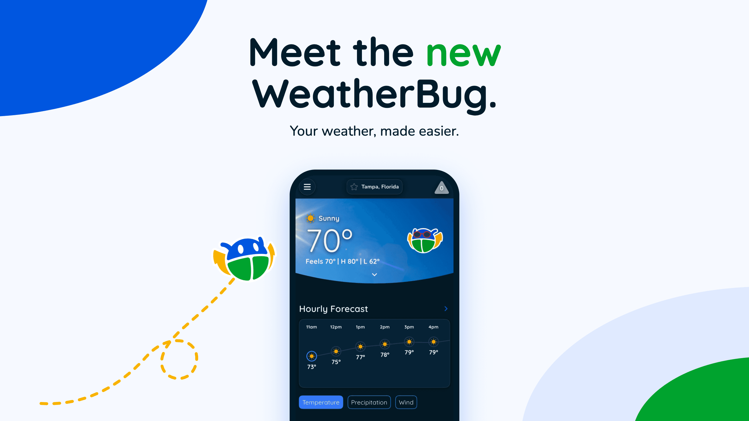
Meet the New WeatherBug App: Redesigned Forecasts & Features
The new WeatherBug is here! Explore our redesigned app and website, with smarter lightning tracking, UV forecasts, air quality, and more.
Read More
46degrees Fahrenheit

Feels like:42°
Hi:46°Lo:35°
40% Chance of Light Rain
Hi

Showers likely. Highs in the mid 40s. Northwest winds around 10 mph with gusts up to 25 mph. Chance of rain 70 percent.
Lo

Cloudy with a chance of rain showers. A slight chance of snow showers after midnight. Lows in the mid 30s. Northwest winds around 10 mph. Gusts up to 25 mph until midnight. Chance of precipitation 50 percent.

Closest strike in the last 30 minutes:436.4 miles
No Lightning Nearby


The new WeatherBug is here! Explore our redesigned app and website, with smarter lightning tracking, UV forecasts, air quality, and more.