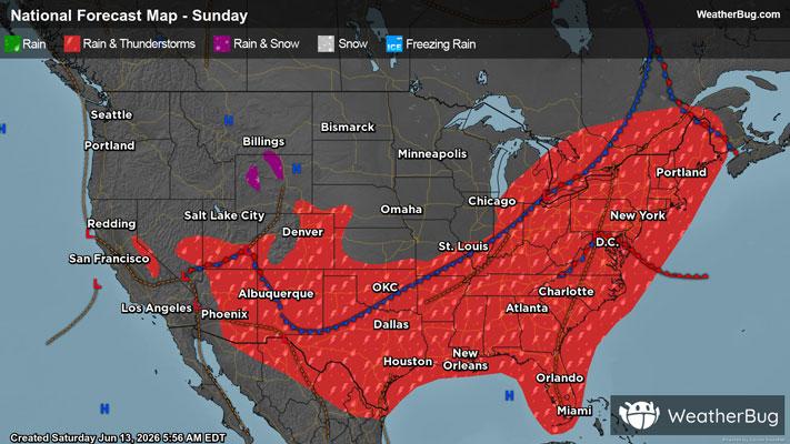
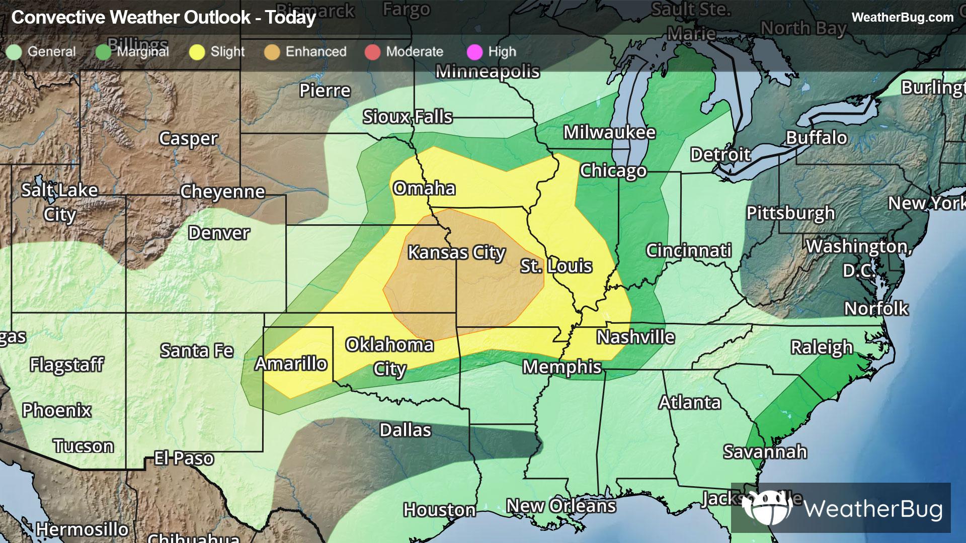
Keeseville, NY Weather

As of

Weather Station:BURLINGTON

Open weather station selector modal

26degrees Fahrenheit

Feels like:14°F

Hi: 26Lo: 12

70% Chance of Heavy Snow

Live Weather Radar

Keeseville, NY weather radar map

Current Weather Details

Windchill
--
Daily Rain
--
Dew point
--
Monthly Rain
--
Humidity
--
Avg. Wind
--
Pressure
--
Wind Gust
--
Sunrise
7:25 AM
Moon
Waxing Crescent
Sunset
4:45 PM
UV Index
1 (Low)

Weather Forecast

  • Today

    Hi

    Cloudy with a 50 percent chance of snow showers. Little or no snow accumulation. Highs in the upper 20s. South winds around 10 mph.

  • Tonight

    Lo

    Mostly cloudy until midnight then becoming partly cloudy. A 50 percent chance of snow showers. Snow accumulation up to 1 inch possible. Lows around 8 above. Southwest winds 10 to 15 mph. Gusts up to 35 mph after midnight.

Keeseville, NY 10-day weather forecast

AIR QUALITY

21 | Fair

Top Triggers:pm25
Air quality data provided by Ambee
View Today's Air Quality details for Keeseville, NY

POLLEN COUNT & ALLERGY FORECAST

0.1 Low

Predominant Pollen:None
View the Pollen forecast details

LIGHTNING MAP

Closest strike in the last 30 minutes:2310.2 miles

No Lightning Nearby

Real-time lightning alerts & live Map