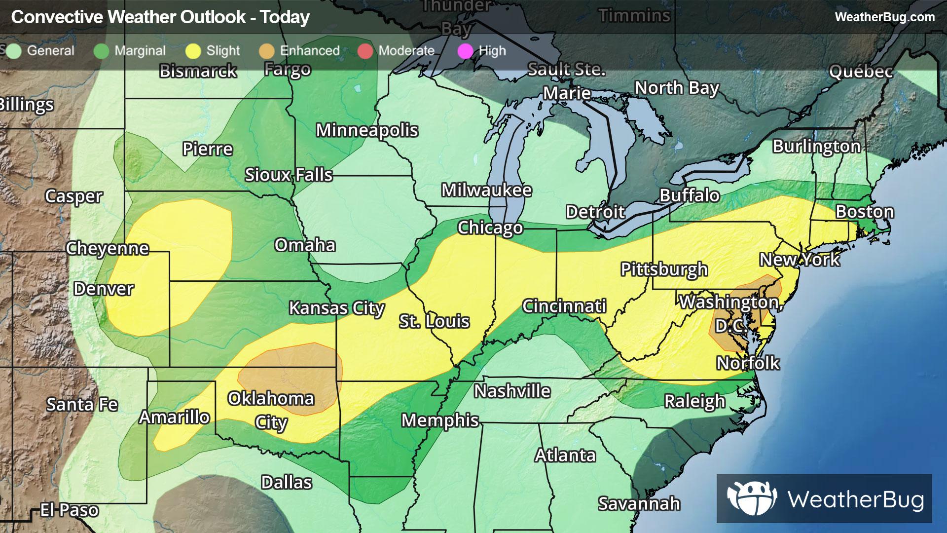
Storms Resurge in Mid-Atlantic, High Plains
Severe storms will return to both the High Plains and Mid-Atlantic this afternoon and evening when heated air masses ignite.
Read More
76degrees Fahrenheit

Feels like:76°
Hi:84°Lo:66°
40% Chance Rain Showers
Hi

Mostly sunny with probable rain. Chance of precipitation 65%. High temperature around 84F. Dew point will be around 70F with an average humidity of 78%. Winds will be 6 mph from the NW.
Lo

Mostly cloudy with showers and thunderstorms likely this evening then partly cloudy with a slight chance of showers and thunderstorms after midnight. Areas of fog after midnight. Some thunderstorms may produce small hail this evening. Lows in the mid 60s. Northwest winds around 5 mph this evening becoming light and variable. Chance of rain 70 percent.


Closest strike in the last 30 minutes:5.6 miles
Stay Alert!
Severe storms will return to both the High Plains and Mid-Atlantic this afternoon and evening when heated air masses ignite.


