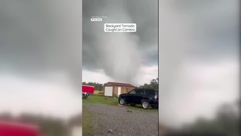
Lyndon Station, WI Weather

As of

Weather Station:Reedsburg Municipal Airport

Open weather station selector modal

11degrees Fahrenheit

Feels like:0

Hi: 11Lo: -3

Cloudy

Live Weather Radar

Lyndon Station, WI weather radar map

Current Weather Details

Windchill
--
Daily Rain
--
Dew point
--
Monthly Rain
--
Humidity
--
Avg. Wind
--
Pressure
--
Wind Gust
--
Sunrise
7:28 AM
Moon
New
Sunset
4:51 PM
UV Index
1 (Low)

Weather Forecast

  • Today

    Hi

    Partly cloudy with likely snow. Chance of precipitation 85%. High temperature around 8F. Dew point will be around -0F with an average humidity of 70%. Winds will be 7 mph from the SW.

  • Tonight

    Lo

    Mostly cloudy. A chance of snow this evening. Patchy blowing snow after midnight. Additional snow accumulation little or no. Cold with lows around 7 below. Northwest winds 10 to 20 mph with gusts up to 35 mph. Chance of snow 50 percent. Wind chill values as low as 25 below after midnight.

Lyndon Station, WI 10-day weather forecast

AIR QUALITY

19 | Excellent

Top Triggers:pm25
Air quality data provided by Ambee
View Today's Air Quality details for Lyndon Station, WI

POLLEN COUNT & ALLERGY FORECAST

0.1 Low

Predominant Pollen:None
View the Pollen forecast details

LIGHTNING MAP

Closest strike in the last 30 minutes:1182.7 miles

No Lightning Nearby

Real-time lightning alerts & live Map