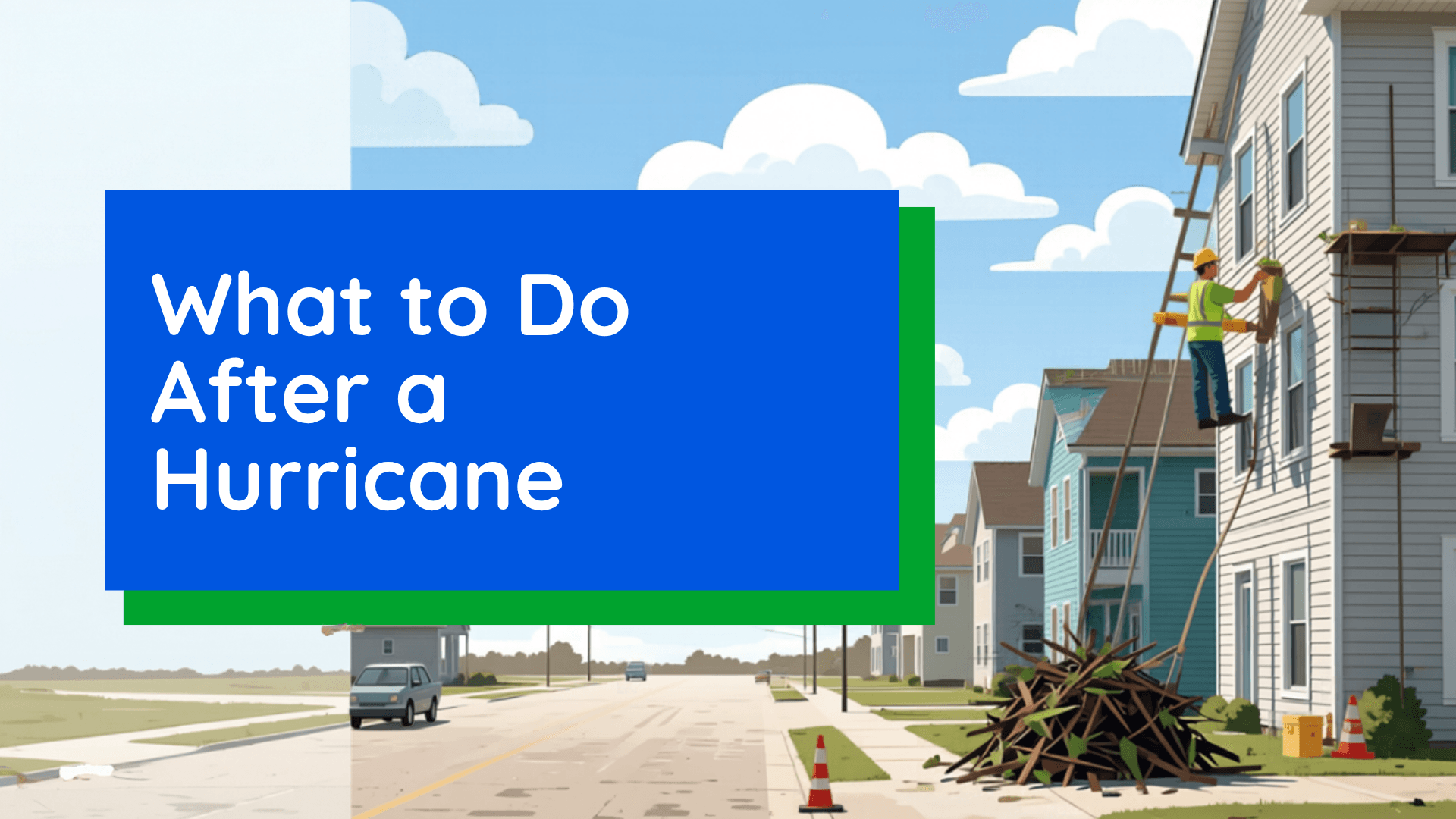
What to Do When the Hurricane Is Over
The hurricane may be gone, but the danger isn't. From hidden floodwaters to downed power lines, here's how to stay safe and start recovering after a hurricane.
Read More
69degrees Fahrenheit

Feels like:69°
Hi:69°Lo:64°
50% Chance of Rain
Hi

Cloudy with likely rain. Chance of precipitation 90%. High temperature around 68F. Dew point will be around 68F with an average humidity of 100%. Winds will be 18 mph from the ESE.
Lo

Showers likely. A chance of thunderstorms, mainly this evening. Near steady temperature in the upper 60s. East winds 10 to 15 mph with gusts up to 25 mph, becoming northeast 5 to 10 mph after midnight. Chance of rain 70 percent.

Closest strike in the last 30 minutes:840.4 miles
No Lightning Nearby


The hurricane may be gone, but the danger isn't. From hidden floodwaters to downed power lines, here's how to stay safe and start recovering after a hurricane.