
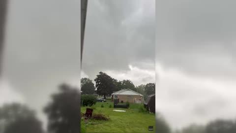
Powerful Storms Rumble Across Eastern Seaboard
Dangerous weather will continue to rumble across many parts of the Eastern Seaboard through tonight.
Read More

40% Chance Rain Showers
Lo

Showers with a chance of thunderstorms this evening then showers likely with a slight chance of thunderstorms after midnight. Lows in the lower 60s. Southwest winds 10 to 15 mph becoming northwest after midnight. Chance of rain 90 percent.
Hi

Mostly sunny. Not as warm. Less humid with highs in the mid 70s. Northwest winds 10 to 15 mph with gusts up to 25 mph.

Closest strike in the last 30 minutes:170.8 miles
No Lightning Nearby


