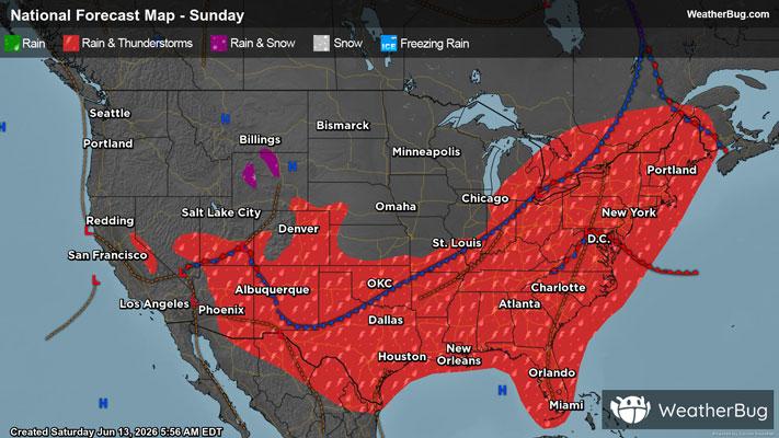
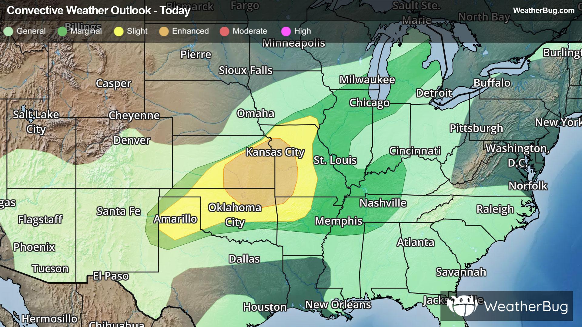
Manton, MI

Weather

As of
Current Temperature
64
Feels like:64°
Today's high temperature
66°
Today's low temperature
55°

Partly Cloudy

Live Weather Radar

Manton, MI weather radar map

Current Weather Details

Windchill
64°
Daily Rain
0"
Dew point
57°
Monthly Rain
1.56"
Humidity
78%
Avg. Wind
NW 3 mph
Pressure
29.78" →
Wind Gust
3 mph
Sunrise
5:56 AM
Moon
Waning Crescent
Sunset
9:27 PM
UV Index
5 (Moderate)

Weather Forecast

  • Tonight

    Lo

    Mostly cloudy with a 20 percent chance of rain showers. Lows in the lower 50s. Light winds.

  • Tomorrow

    Hi

    Partly sunny. Highs in the mid 60s. Northwest winds 5 to 15 mph with gusts to around 30 mph.

Manton, MI 10-day weather forecast

AIR QUALITY

Air Quality Index
25|Fair
Top Triggers:
pm25
View Today's Air Quality details for Manton, MI

POLLEN COUNT & ALLERGY FORECAST

Pollen Count
5.8|Medium
Predominant Pollen:
Grass
Manton, MI Pollen forecast details

LIGHTNING MAP

Closest strike in the last 30 minutes:81.8 miles

No Lightning Nearby

Manton, MI real-time lightning alerts & live Map