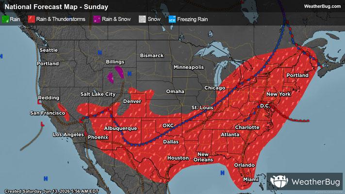
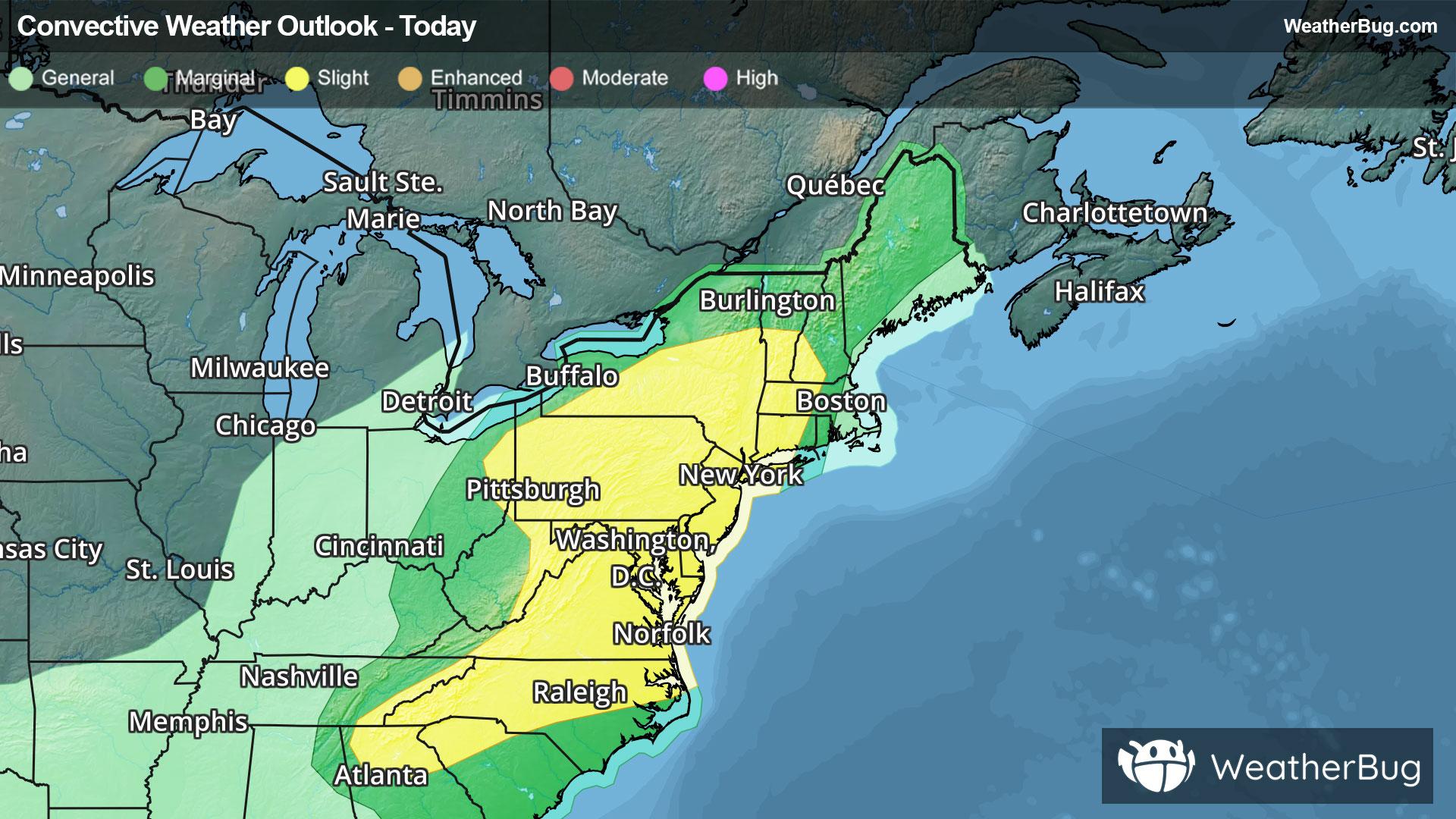
Menasha, WI Weather

As of

Weather Station:Lawrence University

Open weather station selector modal

8degrees Fahrenheit

Feels like:8°F

Hi: 18Lo: 3

30% Chance of Snow

Live Weather Radar

Menasha, WI weather radar map

Current Weather Details

Windchill
Daily Rain
0.01"
Dew point
Monthly Rain
1.87"
Humidity
93%
Avg. Wind
WSW 2 mph
Pressure
29.77" →
Wind Gust
W 5 mph
Sunrise
7:24 AM
Moon
New
Sunset
4:44 PM
UV Index
1 (Low)

Weather Forecast

  • Tonight

    Lo

    Blustery. Colder. Light snow in the evening then a chance of light snow after midnight. Some blowing and drifting snow after midnight. Additional snow accumulation up to 1 inch. Lows zero to 5 below. West wind 10 to 15 mph shifting to the northwest 15 to 25 mph with gusts to around 40 mph after midnight. Chance of snow 80 percent. Lowest wind chill readings to 20 below zero after midnight.

  • Tomorrow

    Hi

    Windy. Partly cloudy. Some blowing and drifting snow. Highs around 5 above zero. West wind 20 to 30 mph. Gusts up to 40 mph in the morning. Wind chills to 30 below zero.

Menasha, WI 10-day weather forecast

AIR QUALITY

16 | Excellent

Top Triggers:pm25
Air quality data provided by Ambee
View Today's Air Quality details for Menasha, WI

POLLEN COUNT & ALLERGY FORECAST

0.1 Low

Predominant Pollen:None
View the Pollen forecast details

LIGHTNING MAP

Closest strike in the last 30 minutes:1208.7 miles

No Lightning Nearby

Real-time lightning alerts & live Map