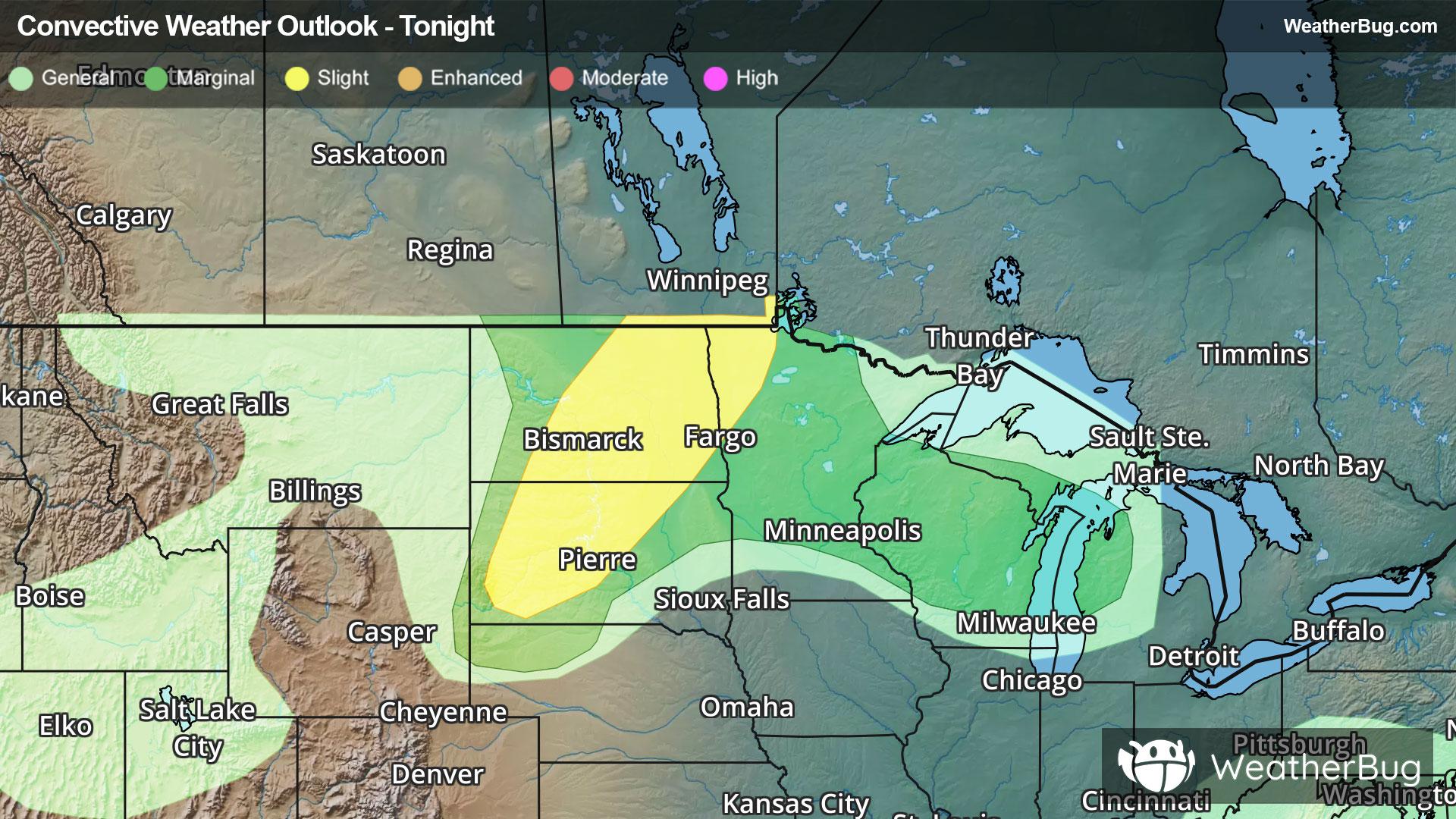
Dangerous Storms Impact Northern Plains
Strong to severe thunderstorms will occur across the northern Plains today bringing risks that will impact travel.
Read More
73degrees Fahrenheit

Feels like:73°
Hi:74°Lo:71°
70% Chance Rain Showers
Lo

Partly cloudy with a 50 percent chance of showers and thunderstorms. Lows in the mid 60s. Southeast winds 5 to 10 mph with gusts to around 25 mph.
Hi

Mostly cloudy. A 50 percent chance of showers and thunderstorms in the morning. Highs around 90. Southeast winds 5 to 15 mph becoming south 10 to 15 mph in the afternoon. Gusts up to 30 mph. Heat index readings 98 to 103.


Closest strike in the last 30 minutes:4.9 miles
Stay Alert!
Strong to severe thunderstorms will occur across the northern Plains today bringing risks that will impact travel.


