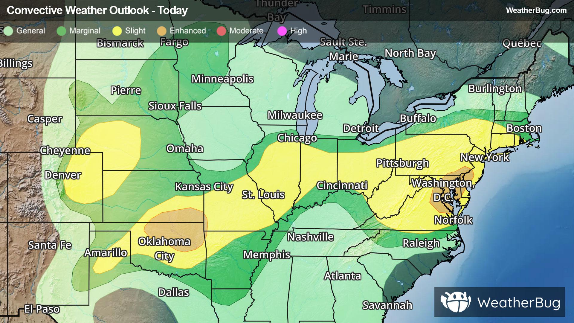
Storms Resurge in Mid-Atlantic, High Plains
Severe storms will return to both the High Plains and Mid-Atlantic this afternoon and evening when heated air masses ignite.
Read More
90degrees Fahrenheit

Feels like:100°
Hi:90°Lo:74°
30% Chance Rain Showers
Hi

Showers and thunderstorms likely. Near steady temperature around 90. Southwest winds around 5 mph. Chance of rain 60 percent.
Lo

Partly cloudy with a chance of showers. A chance of thunderstorms mainly in the evening. Lows in the lower 70s. Southwest winds around 5 mph in the evening becoming light and variable. Chance of rain 50 percent.


Closest strike in the last 30 minutes:15.4 miles
Storms Approaching
Severe storms will return to both the High Plains and Mid-Atlantic this afternoon and evening when heated air masses ignite.


