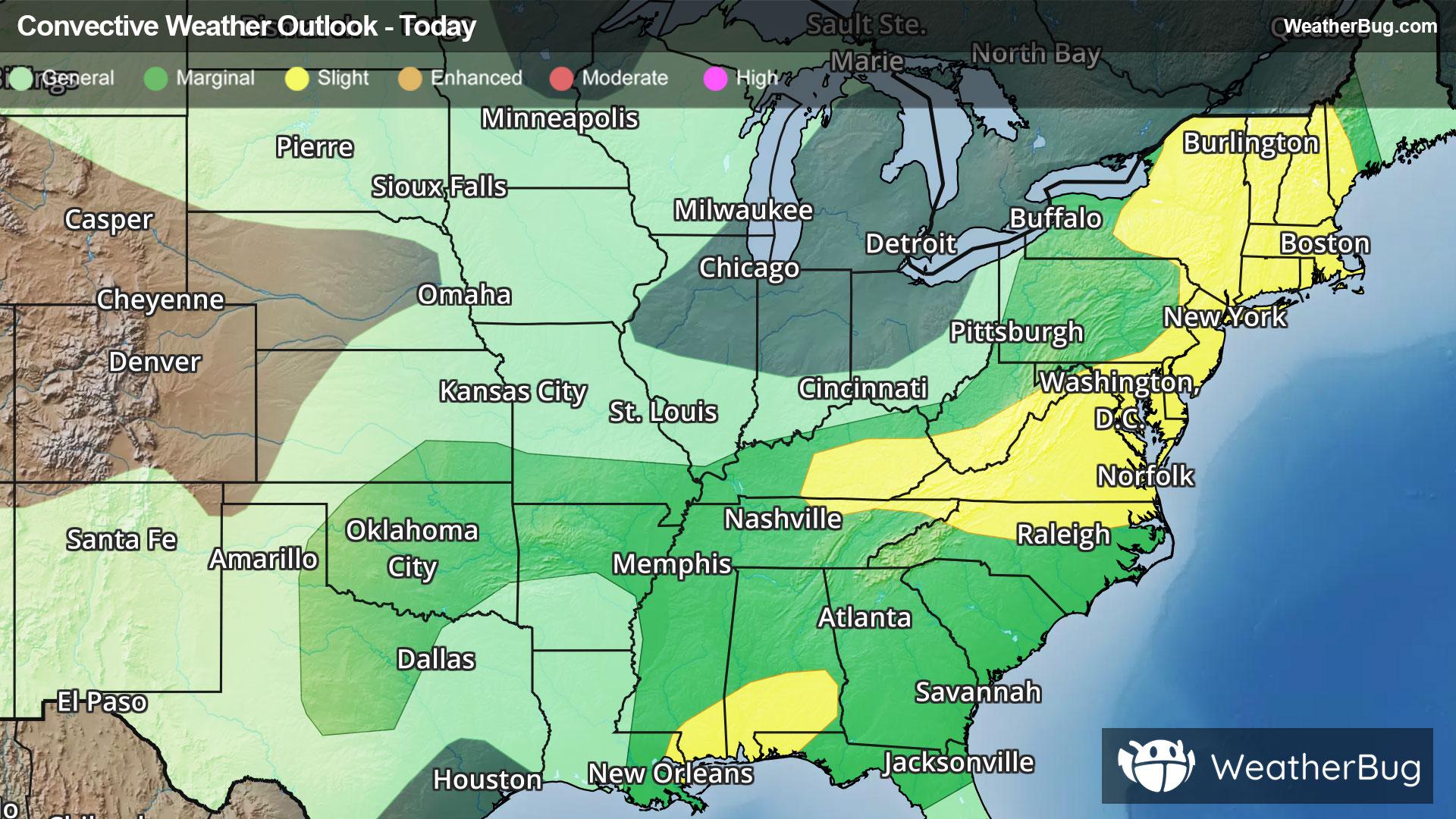
Severe Storms And Flooding Concerns Across The Eastern U.S.
Gusty winds and tornadoes will be the main severe threats, with storms also posing a risk for flooding.
Read More
59degrees Fahrenheit

Feels like:59°
Hi:64°Lo:55°
Rain
Hi

Showers with a chance of thunderstorms. Some thunderstorms may be severe with damaging winds heavy rainfall and tornadoes. Highs in the upper 60s. South winds 10 to 15 mph with gusts up to 40 mph. Chance of rain near 100 percent.
Lo

A chance of thunderstorms in the evening. Partly cloudy with a chance of showers. Some thunderstorms may be severe with damaging winds heavy rainfall and tornadoes. Lows in the lower 50s. Southwest winds 10 to 15 mph with gusts up to 35 mph. Chance of rain 50 percent.


Closest strike in the last 30 minutes:7.3 miles
Stay Alert!


