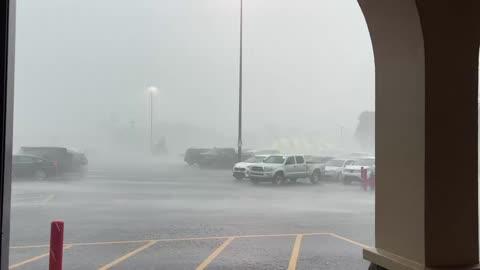
Shullsburg, WI Weather

As of

Weather Station:PLATTEVILLE

Open weather station selector modal

39degrees Fahrenheit

Feels like:30°F

Hi: 54Lo: 36

Mostly Sunny

Live Weather Radar

Shullsburg, WI weather radar map

Current Weather Details

Windchill
30°
Daily Rain
0"
Dew point
35°
Monthly Rain
1.04"
Humidity
84%
Avg. Wind
NNE 16 mph
Pressure
29.85" →
Wind Gust
21 mph
Sunrise
7:21 AM
Moon
Waning Gibbous
Sunset
7:01 PM
UV Index
4 (Moderate)

Weather Forecast

  • Today

    Hi

    Cooler. Mostly sunny until late afternoon then becoming mostly cloudy. Patchy fog in the morning. Chance of light rain showers and slight chance of thunderstorms late in the afternoon. Highs in the mid 50s. Northeast winds 5 to 15 mph. Chance of precipitation 40 percent.

  • Tonight

    Lo

    Cloudy. Patchy fog until early morning. Light rain showers through around midnight. Chance of thunderstorms until early morning. Chance of light rain showers after midnight. Lows in the lower 30s. Northeast winds 10 to 15 mph. Chance of precipitation 80 percent.

Shullsburg, WI 10-day weather forecast

AIR QUALITY

25 | Fair

Top Triggers:pm25
Air quality data provided by Ambee
View Today's Air Quality details for Shullsburg, WI

POLLEN COUNT & ALLERGY FORECAST

5.7 Medium

Predominant Pollen:Cedar/Juniper
View the Pollen forecast details

LIGHTNING MAP

Closest strike in the last 30 minutes:1239.1 miles

No Lightning Nearby

Real-time lightning alerts & live Map