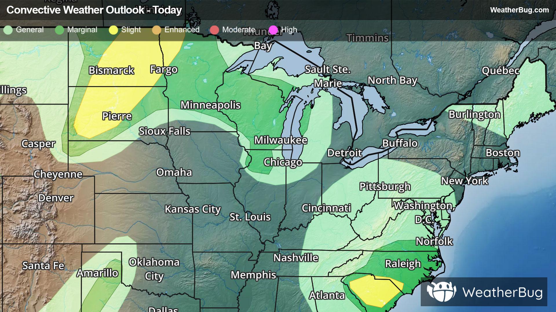
Dangerous Storms, Flooding Impact Northern Plains To The Carolinas
Strong to severe thunderstorms will occur across the northern Plains today bringing risks that will impact travel.
Read More
84degrees Fahrenheit

Feels like:98°
Hi:92°Lo:79°
30% Chance Rain Showers
Lo

Mostly cloudy with isolated showers and thunderstorms this evening then mostly clear after midnight. Lows in the upper 70s. Northwest winds 5 to 10 mph becoming east after midnight. Chance of rain 20 percent.
Hi

Sunny. Scattered showers and thunderstorms in the afternoon. Humid with highs in the lower 90s. Southeast winds around 5 mph becoming west in the afternoon. Chance of rain 30 percent. Heat index values up to 107.


Closest strike in the last 30 minutes:64.3 miles
No Lightning Nearby
Strong to severe thunderstorms will occur across the northern Plains today bringing risks that will impact travel.


