
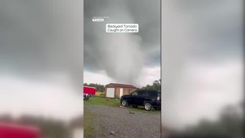
Thunderstorms to Rumble Across the Plains, Atlantic Coast
There are a pair of areas to watch in terms of severe thunderstorms today
Read More
64degrees Fahrenheit

Feels like:64°
Hi:--Lo:61°
Mostly Clear
Lo

Mostly clear early in the evening then becoming partly cloudy. Lows in the mid 50s. East winds around 5 mph becoming south after midnight.
Hi

Partly cloudy in the morning then becoming mostly cloudy. A slight chance of showers and thunderstorms early in the afternoon. Showers likely with a chance of thunderstorms late. Highs in the upper 70s. Southwest winds 5 to 10 mph increasing to 10 to 15 mph in the afternoon. Chance of precipitation 70 percent.

Closest strike in the last 30 minutes:294.7 miles
No Lightning Nearby


