Northern Lights This Weekend: Will Clouds Block the View?
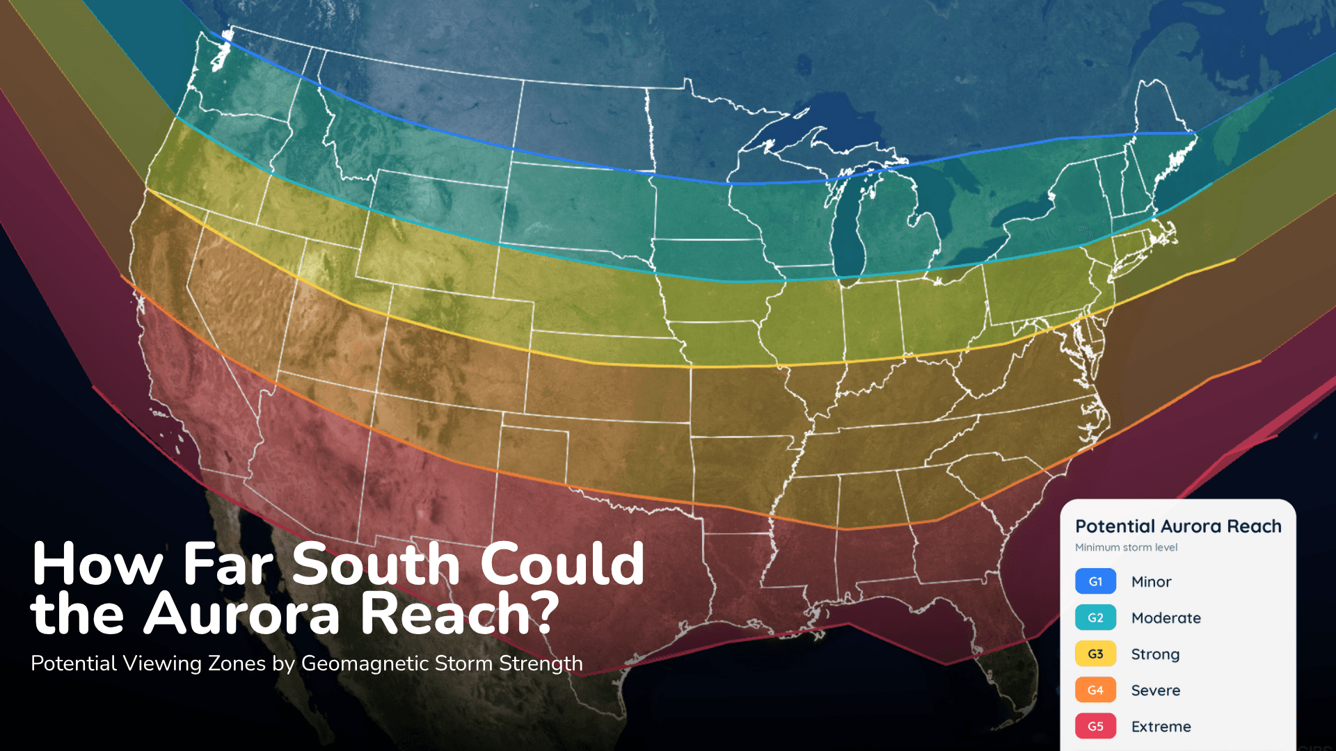
Aurora could reach parts of the northern United States Saturday night, but the cloud forecast may decide who actually sees it.
Read More
76degrees Fahrenheit

Feels like:76°
Hi:92°Lo:71°
70% Chance of Rain
Lo

Mostly cloudy with chance of showers and thunderstorms in the evening, then partly cloudy with slight chance of showers and thunderstorms after midnight. Patchy blowing dust after midnight. Lows 65 to 71. Southeast wind 5 to 10 mph increasing to 15 to 20 mph with gusts to around 35 mph after midnight. Chance of precipitation 40 percent.
Hi

Windy. Mostly cloudy with chance of showers and slight chance of thunderstorms. Patchy blowing dust. Highs 79 to 84. South wind 20 to 30 mph. Chance of precipitation 30 percent.


Heavy rain easing to light rain in 3 minutes.
Closest strike in the last 30 minutes:0.9 miles
Stay Alert!


Aurora could reach parts of the northern United States Saturday night, but the cloud forecast may decide who actually sees it.