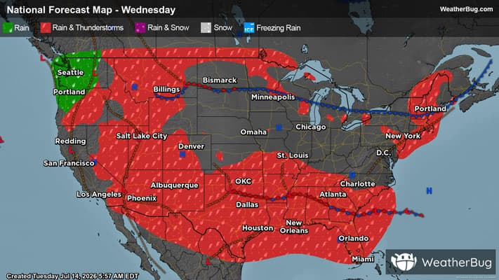
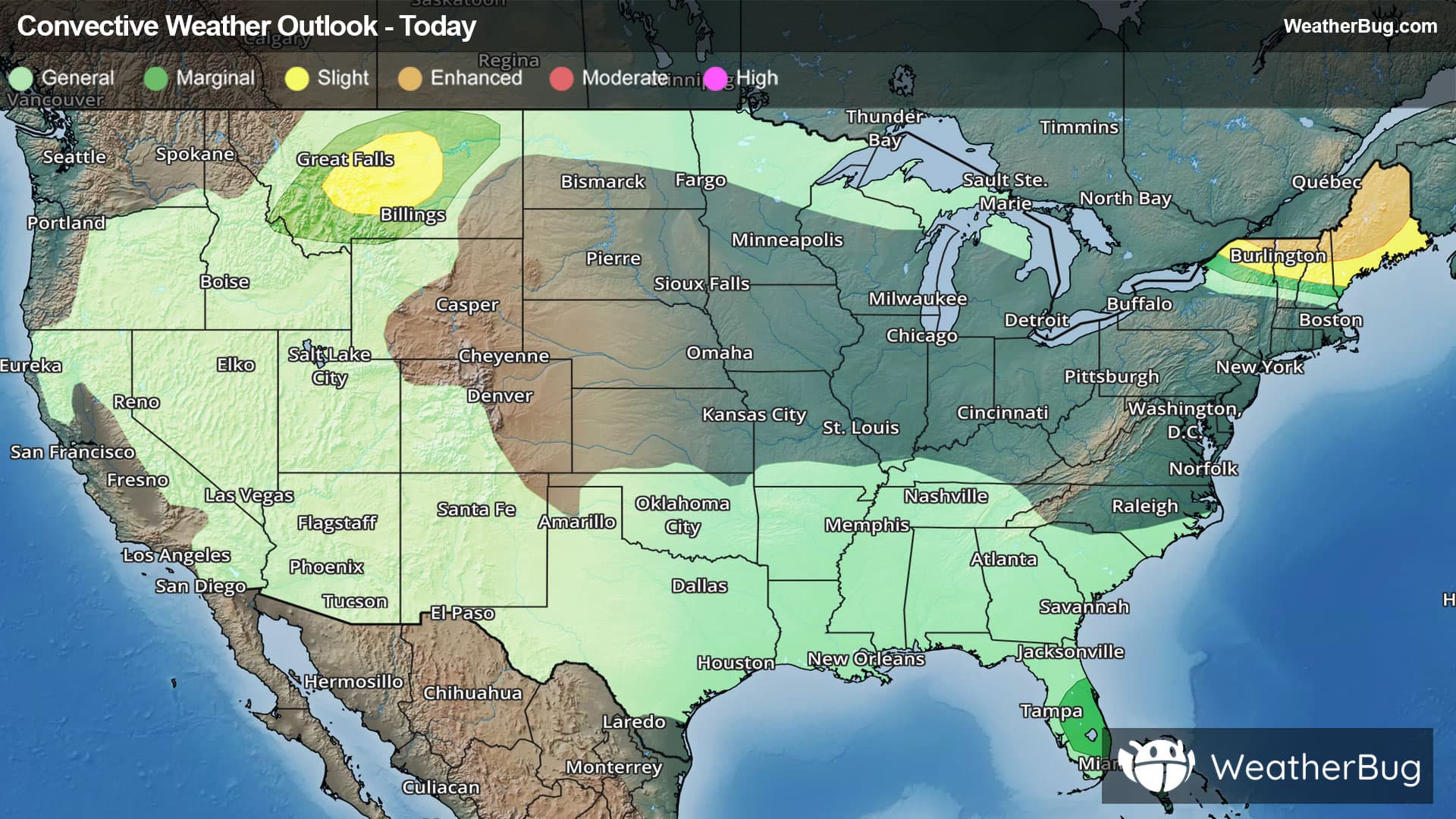
Waltonville, IL Weather

As of

Weather Station:Mount Vernon Outland Arpt

Open weather station selector modal

60degrees Fahrenheit

Feels like:60°F

Hi: 70Lo: 60

Partly Cloudy

Live Weather Radar

Waltonville, IL weather radar map

Current Weather Details

Windchill
60°
Daily Rain
0"
Dew point
58°
Monthly Rain
5.94"
Humidity
93%
Avg. Wind
NE 8 mph
Pressure
29.92" →
Wind Gust
8 mph
Sunrise
6:41 AM
Moon
Full
Sunset
7:18 PM
UV Index
5 (Moderate)

Weather Forecast

  • Tonight

    Lo

    Mostly cloudy. A chance of showers and thunderstorms mainly this evening. Lows in the lower 60s. East winds 5 to 10 mph becoming southeast 10 to 15 mph with gusts up to 25 mph after midnight. Chance of rain 40 percent.

  • Tomorrow

    Hi

    Mostly cloudy. Showers likely with a chance of thunderstorms in the afternoon. Breezy with highs in the upper 70s. South winds 15 to 25 mph with gusts up to 35 mph. Chance of rain 70 percent.

Waltonville, IL 10-day weather forecast

AIR QUALITY

25 | Fair

Top Triggers:pm25
Air quality data provided by Ambee
View Today's Air Quality details for Waltonville, IL

POLLEN COUNT & ALLERGY FORECAST

11.2 High

Predominant Pollen:Cedar/Juniper, Elm and Maple.
View the Pollen forecast details

LIGHTNING MAP

Closest strike in the last 30 minutes:167.2 miles

No Lightning Nearby

Real-time lightning alerts & live Map