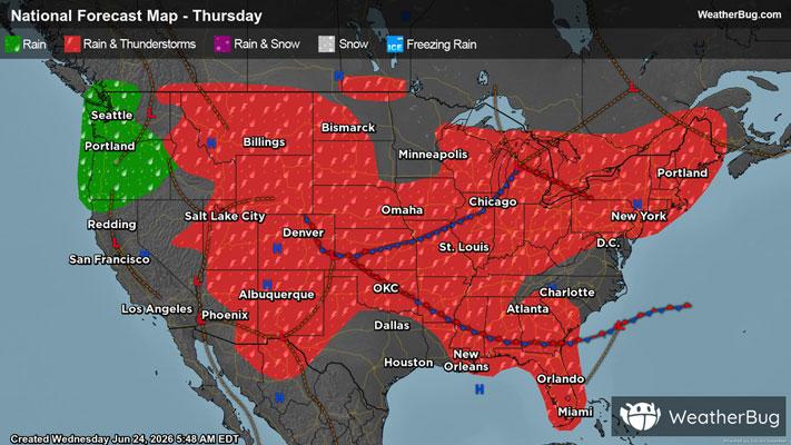
Intermountain West, High Plains Targeted by Severe Thunderstorms
The High Plains and a portion of the Intermountain West are locations to watch for severe thunderstorms today
Read More
74degrees Fahrenheit

Feels like:74°
Hi:81°Lo:67°
30% Chance of Light Rain
Lo

Mostly cloudy this evening then becoming partly cloudy. A slight chance of thunderstorms. A slight chance of showers this evening then a chance of showers after midnight. Lows in the mid 60s. Southwest winds around 5 mph. Chance of rain 30 percent.
Hi

Mostly sunny with a chance of showers. A slight chance of thunderstorms in the morning then a chance of thunderstorms in the afternoon. Some thunderstorms may produce heavy rainfall in the afternoon. Highs in the lower 80s. West winds around 5 mph. Chance of rain 50 percent.


Closest strike in the last 30 minutes:50.9 miles
No Lightning Nearby